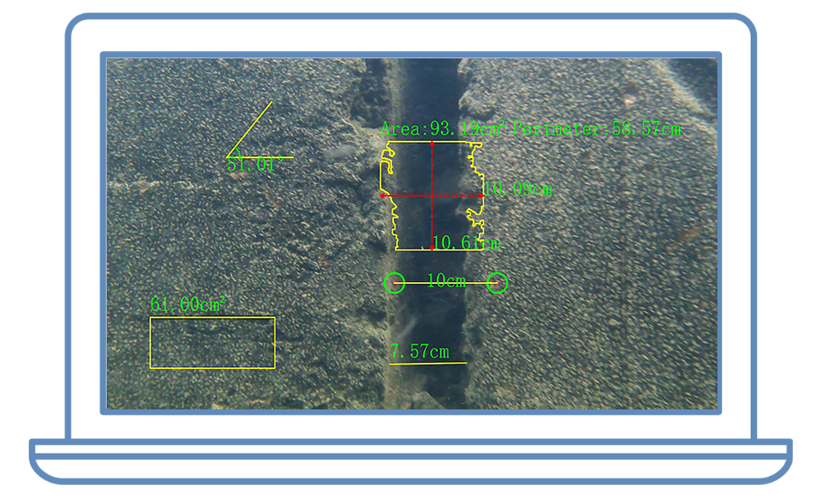


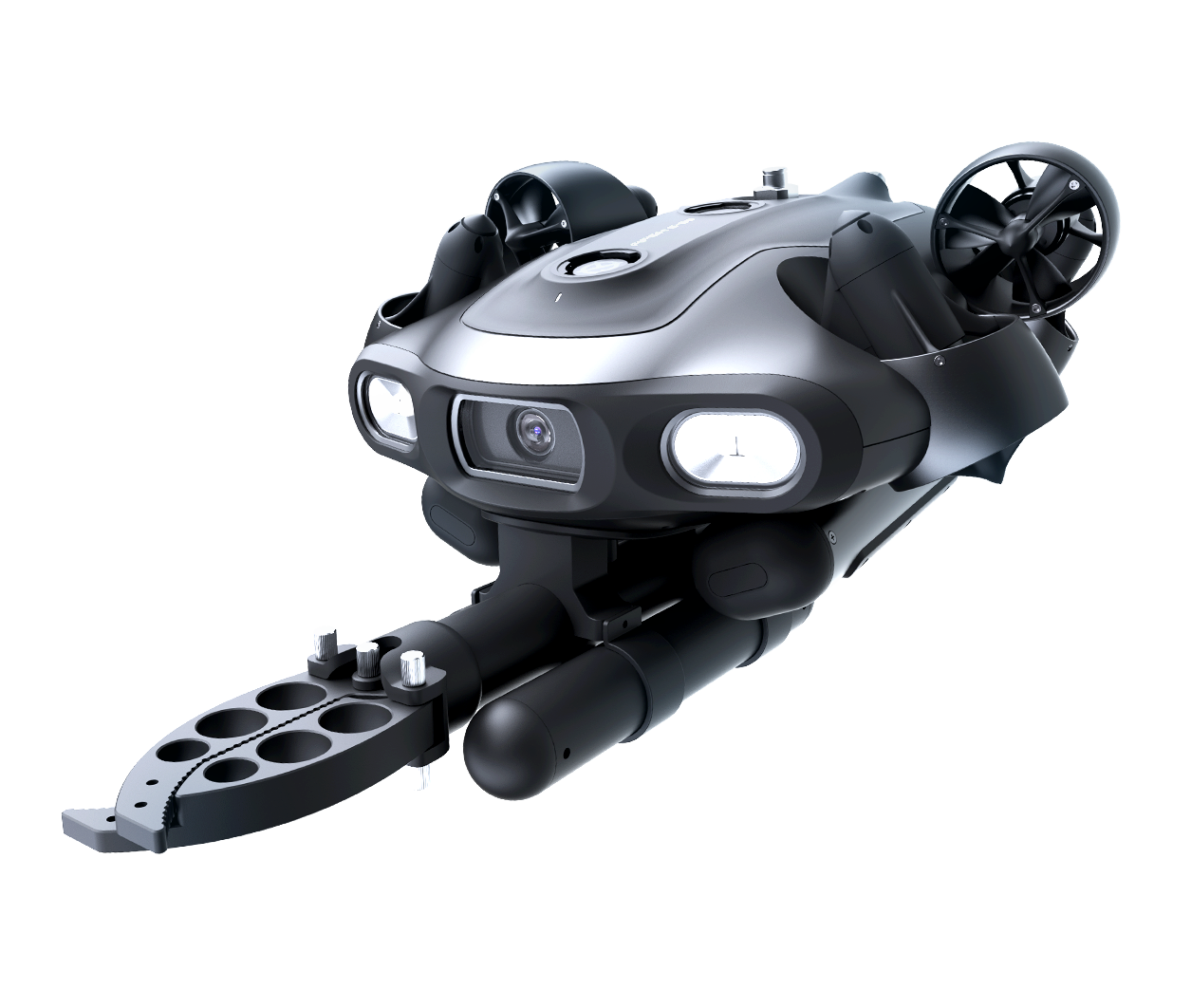
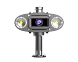
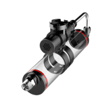
Utilizing FIFISH’s forward Q-DVL distance sensing and intelligent standoff control, U-INS Plus detects obstacles in real time and automatically slows or stops to reduce collision risk and protect the vehicle.
.

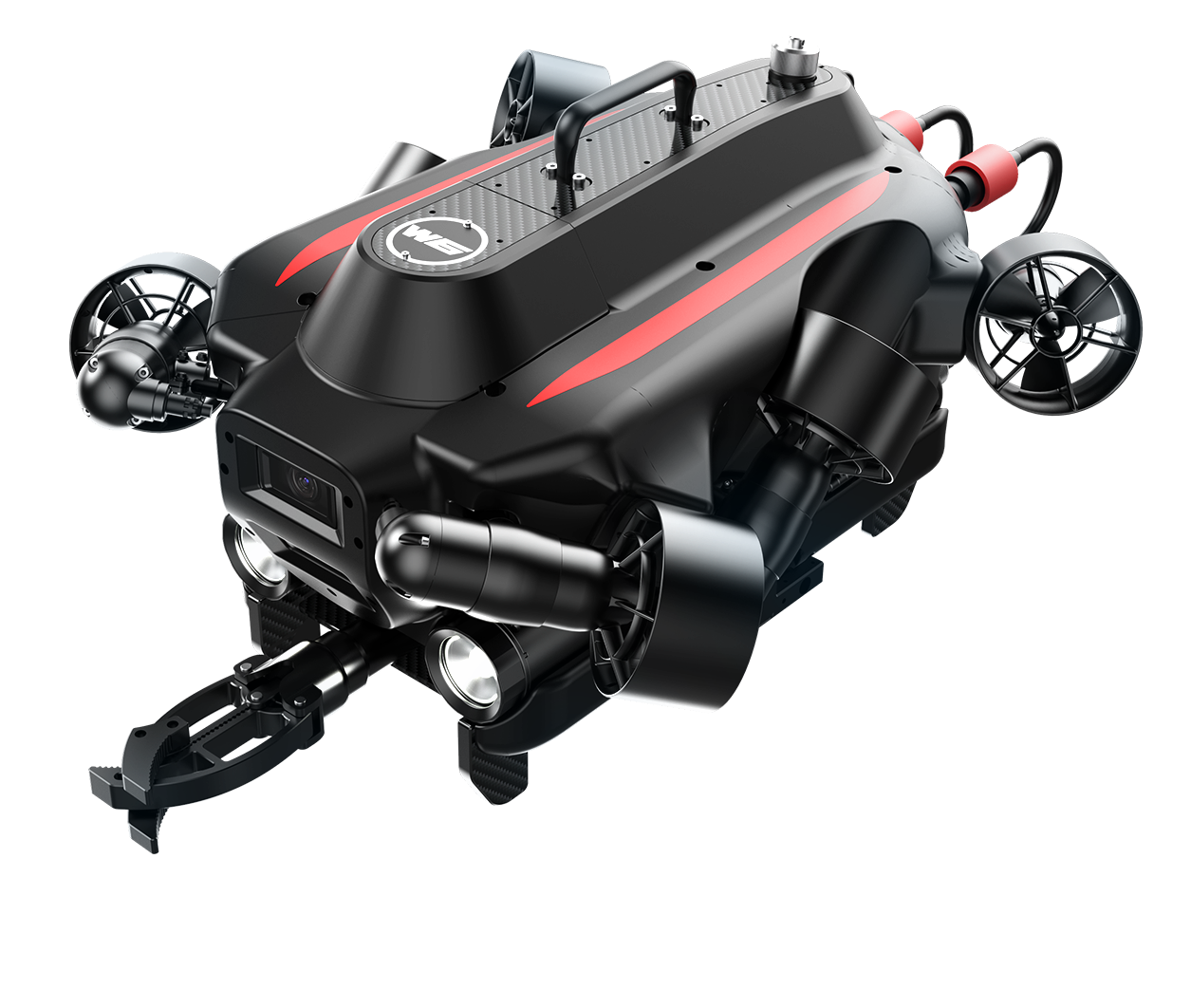
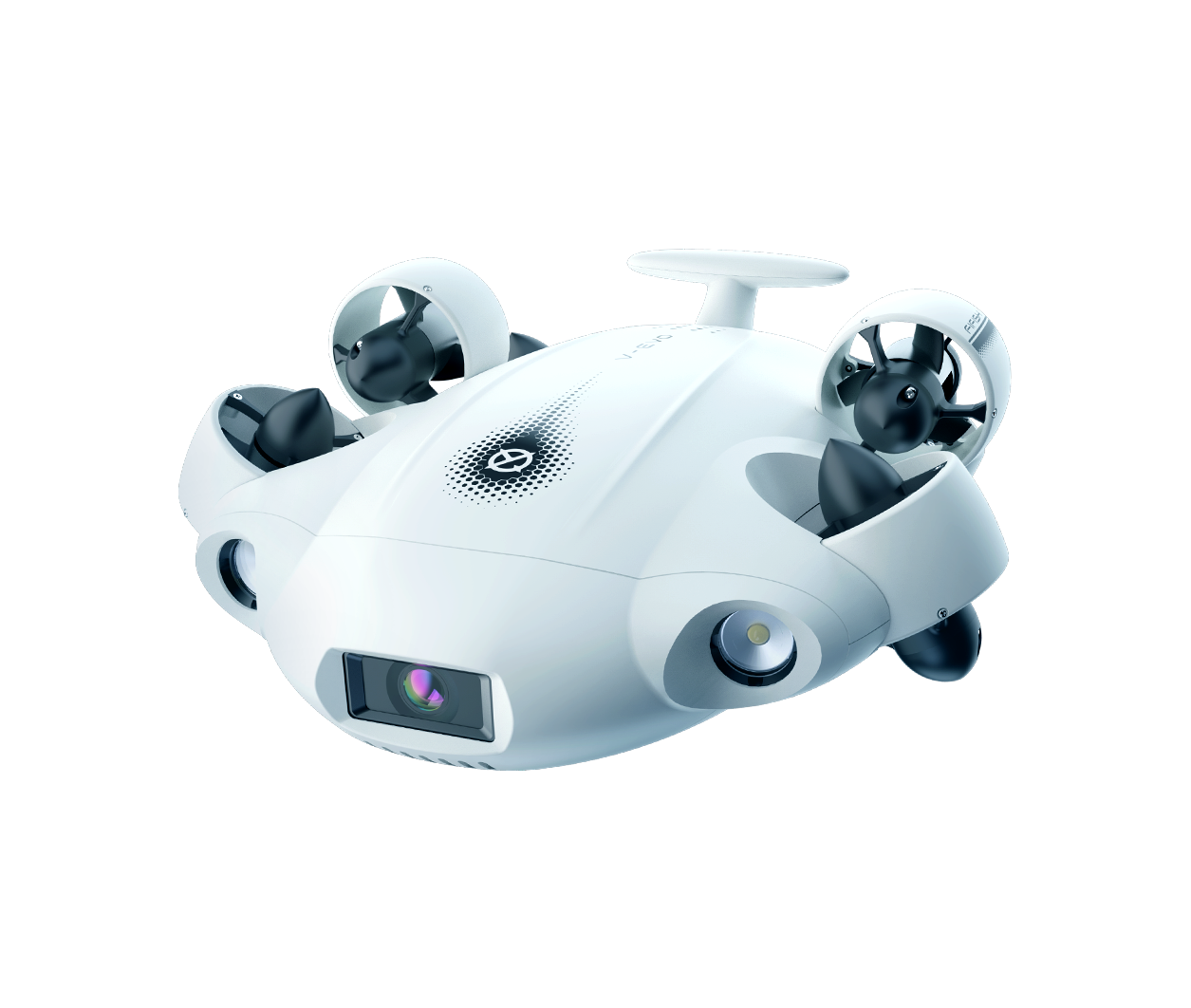
Series
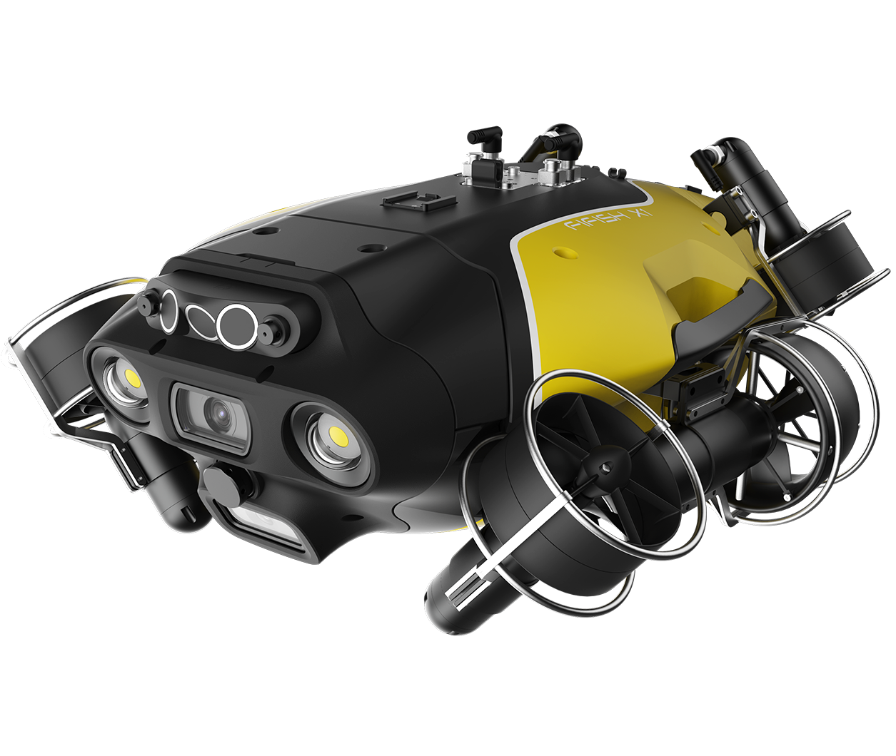
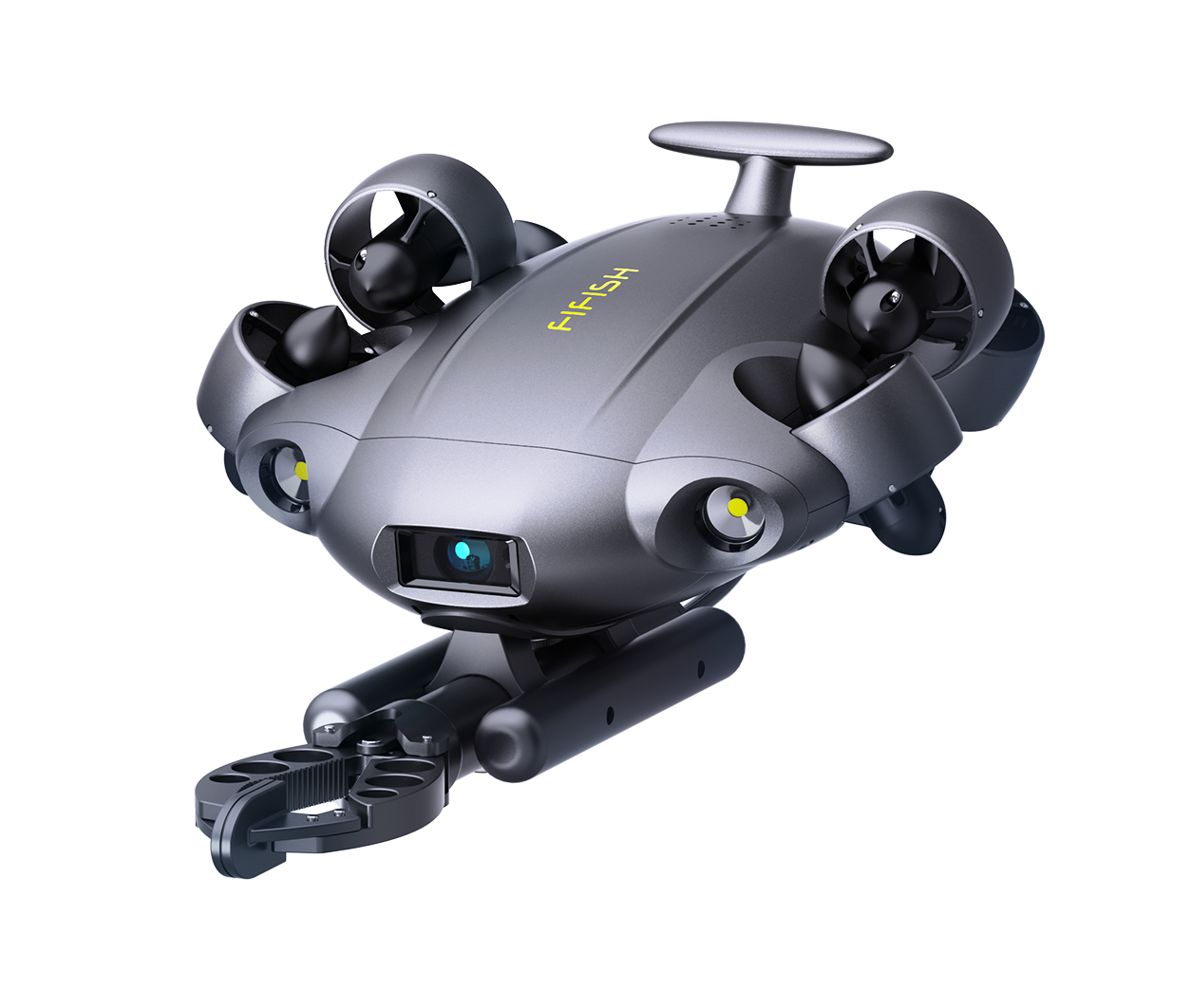
Series
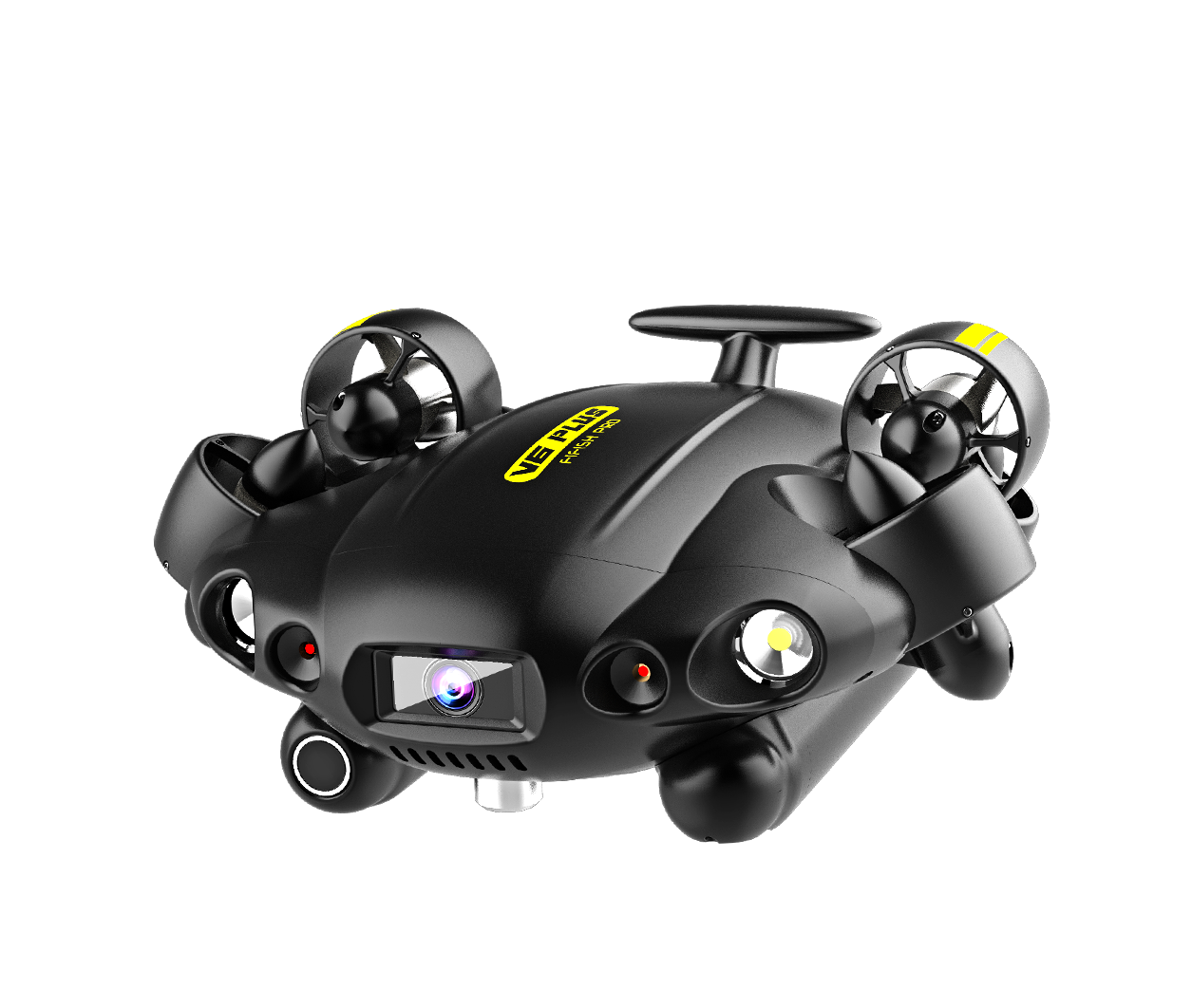
Series
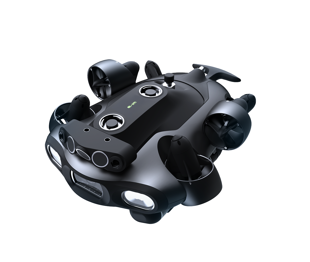
Series

Utilizing FIFISH’s forward Q-DVL distance sensing and intelligent standoff control, U-INS Plus detects obstacles in real time and automatically slows or stops to reduce collision risk and protect the vehicle.
.


Copyright © 2025 QYSEA Technology Privacy Policy | Terms & Conditions
微信不允许下载文件和本地应用调用,
请点击右上角图标,
请选择 “在浏览器打开”


