










橋梁の安全を守る – FIFISH E-MASTER NAVIによる1日河川調査
2025-07-25
シェア:


1. The Challenge
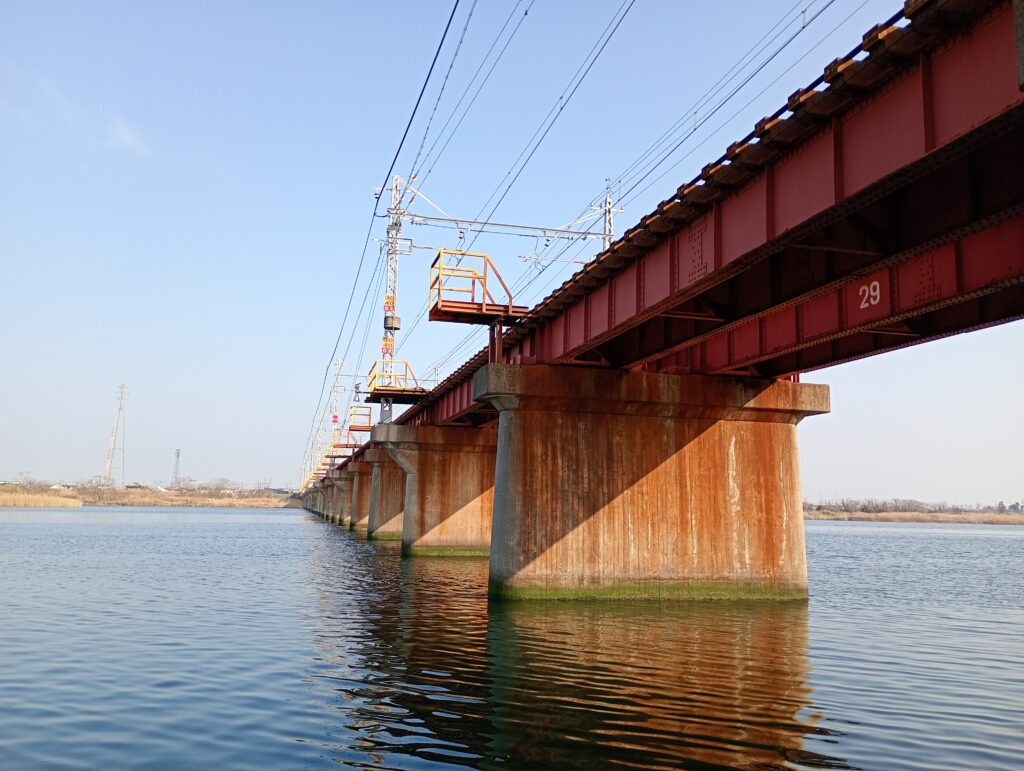
Every rainy season, a city in western Japan must check whether the fast‑moving river is cutting away the riverbed around a busy road bridge. The old way meant hiring divers, renting a workboat, and spending three to five days collecting scattered depth readings in dangerous conditions.
2. Our Fresh Approach
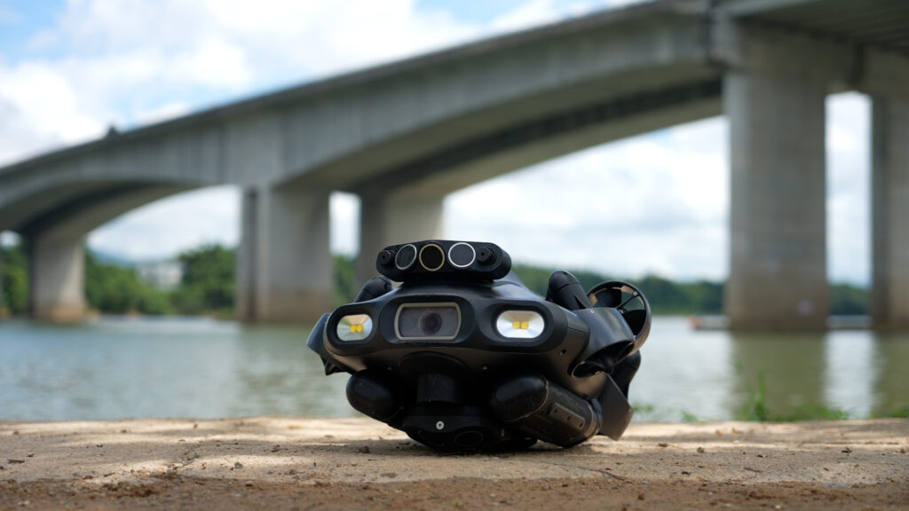
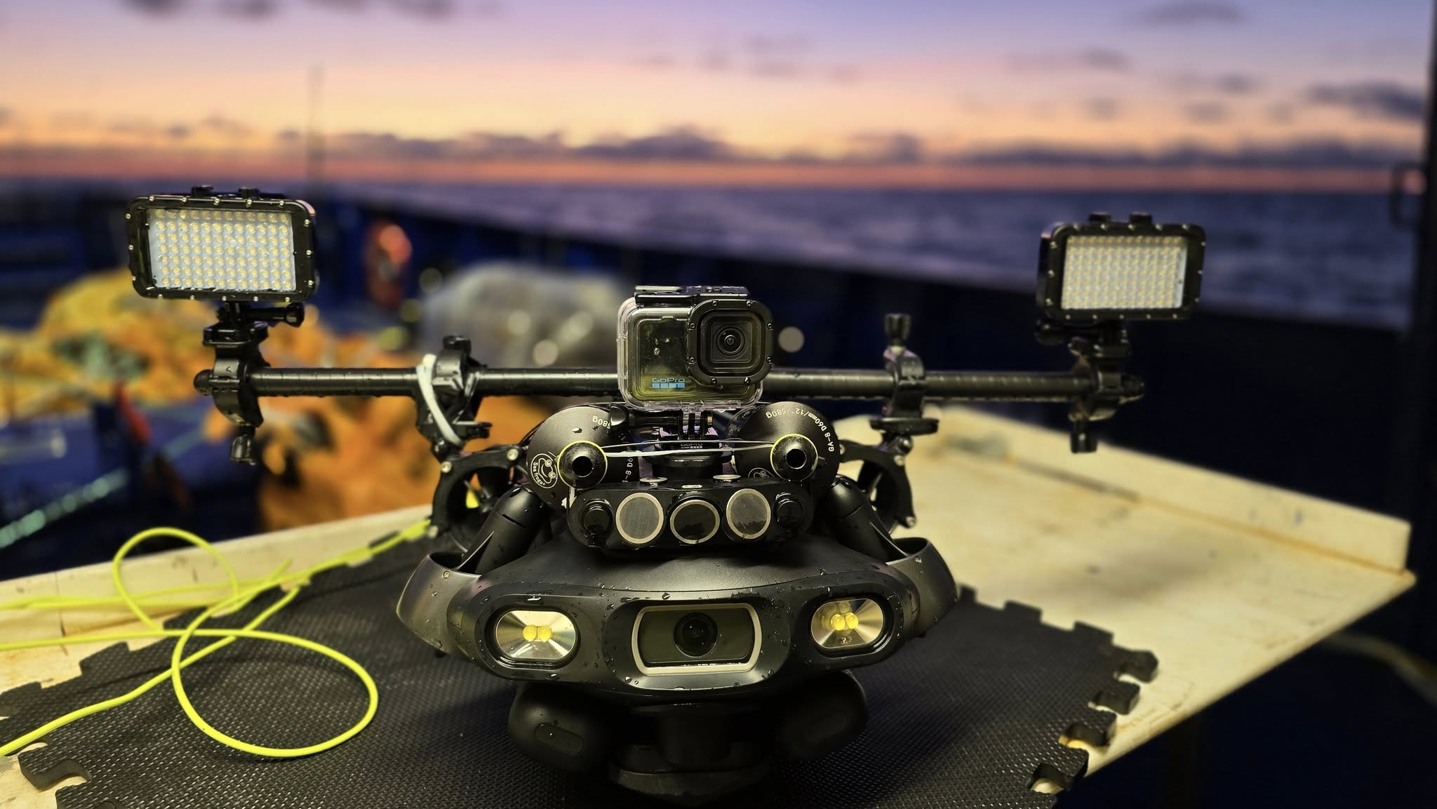
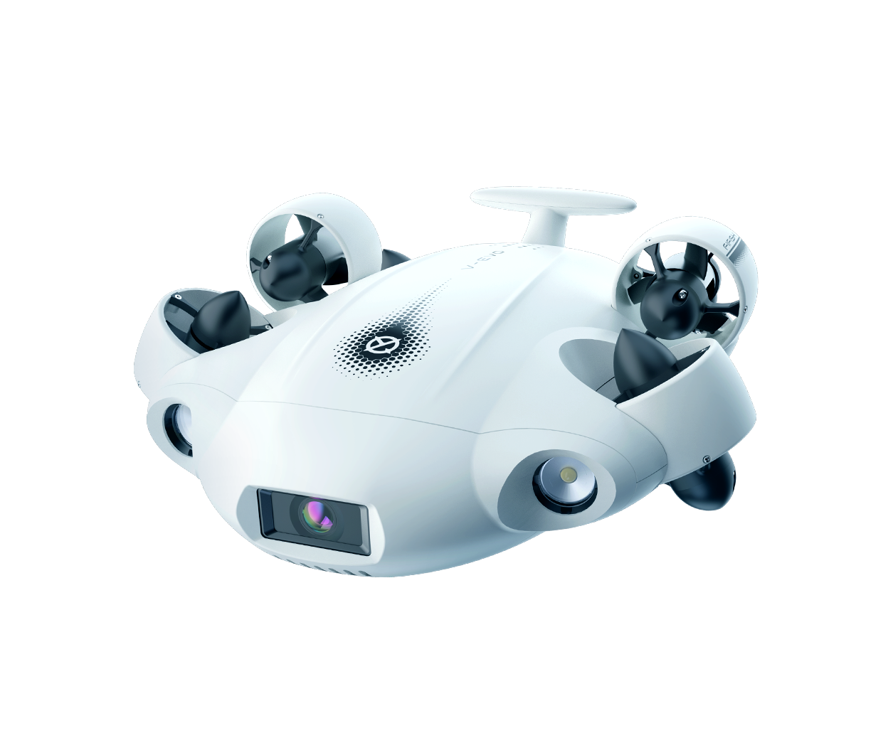
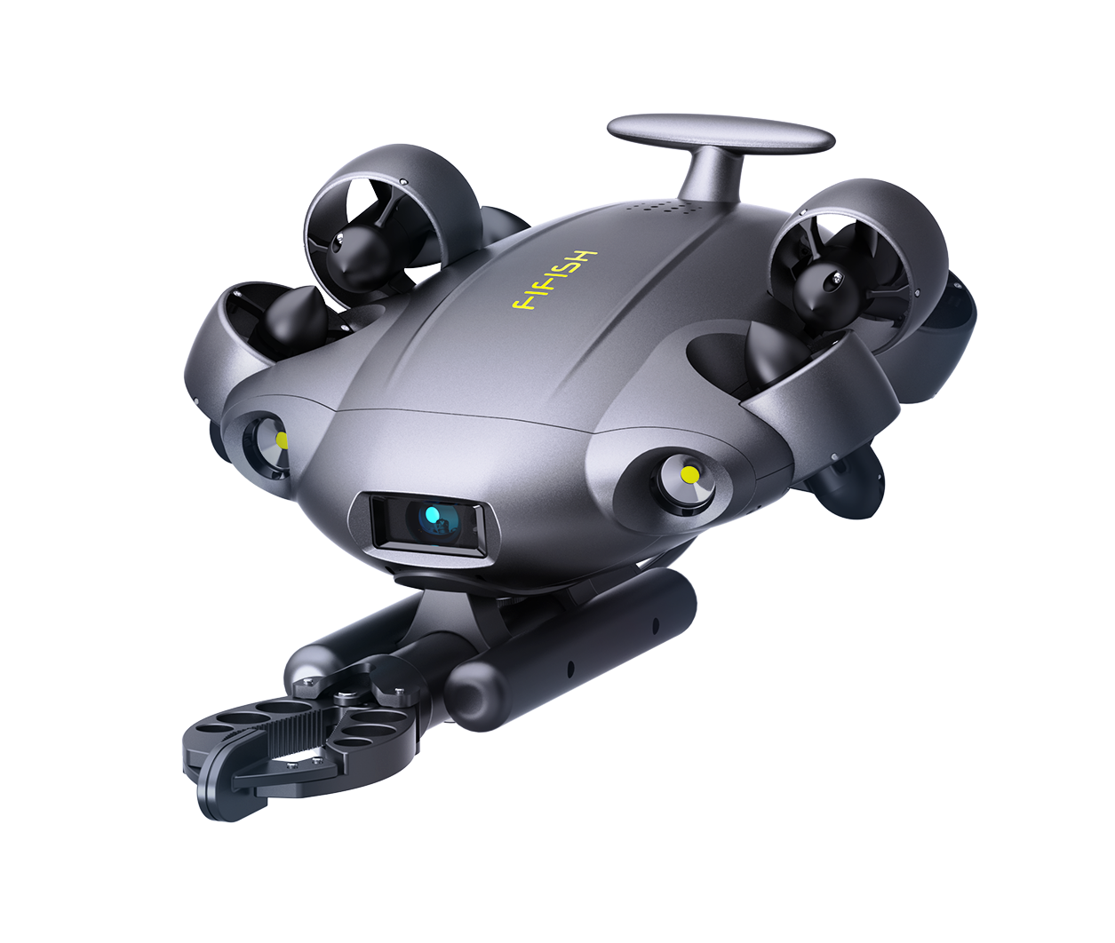
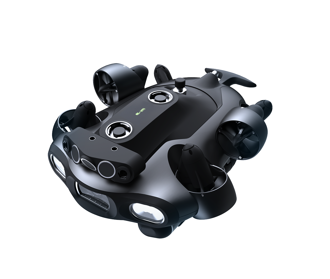
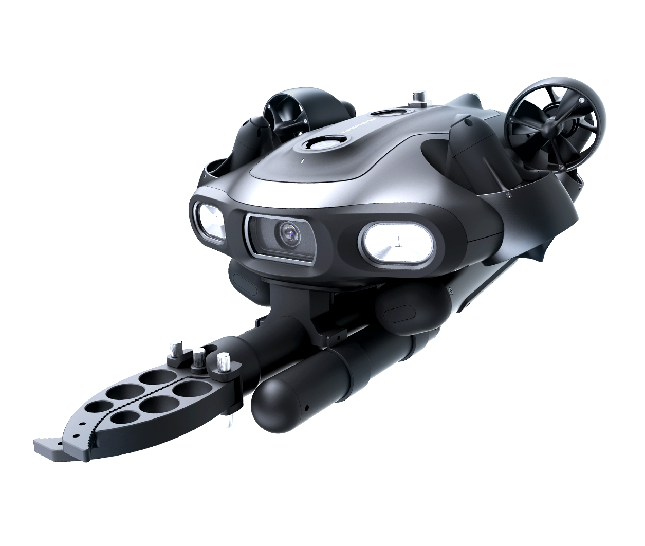
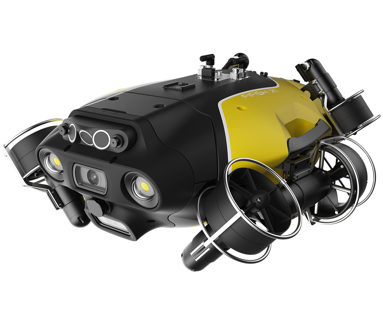
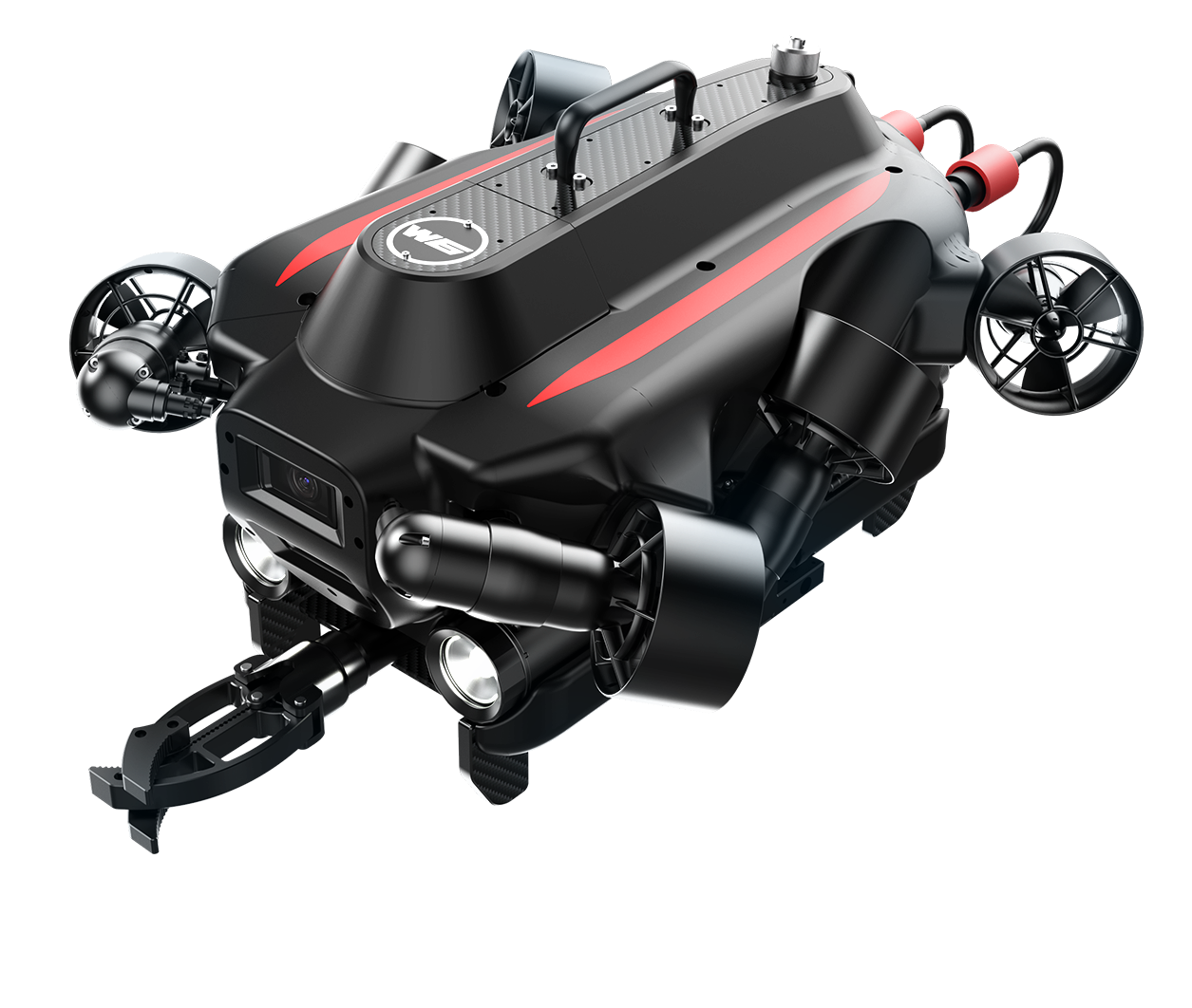
Instead of putting people in the water, the engineering team deployed FIFISH E‑MASTER NAVI, QYSEA’s industrial‑grade underwater remotely operated vehicle (ROV). The system brought three built‑in talents that work together seamlessly:
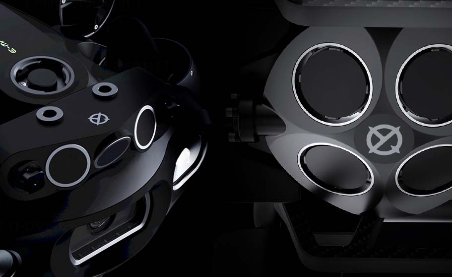
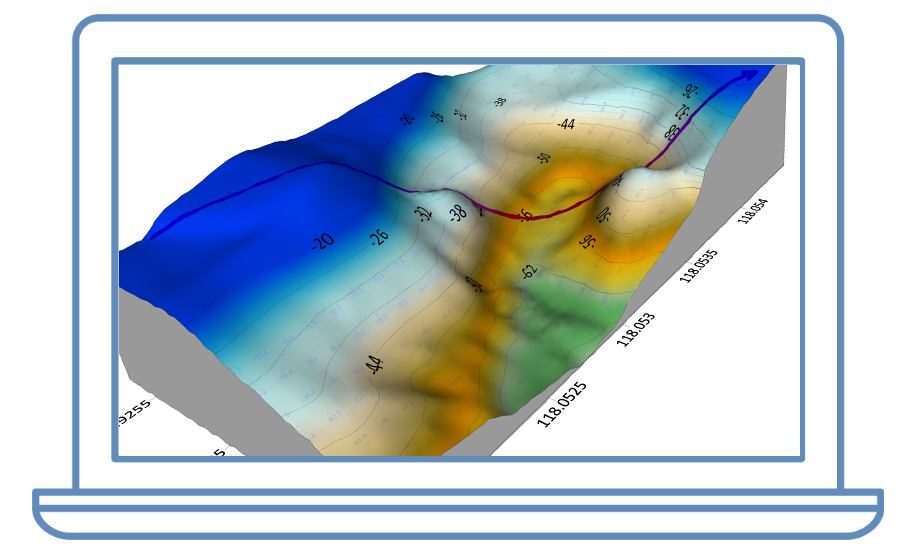
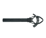
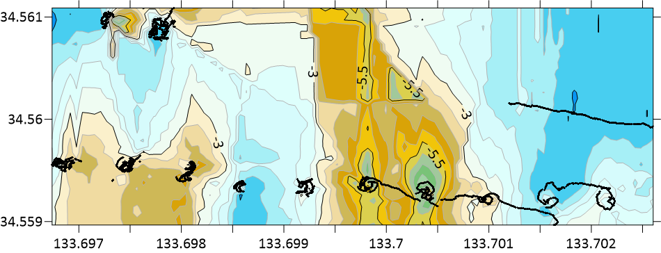
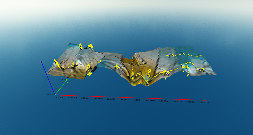
- Smart Depth‑Mapping (QY‑BT) – A downward‑looking sonar paints a full 3‑D picture of the riverbed as the ROV moves, so no spot is missed.
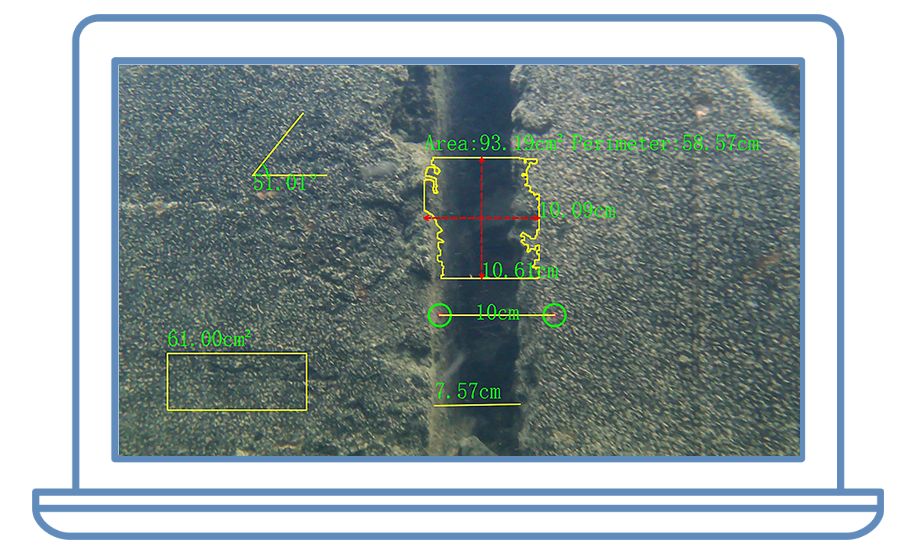
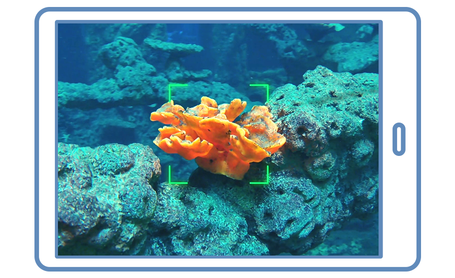
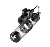
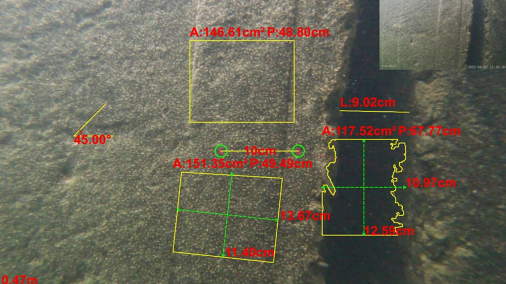
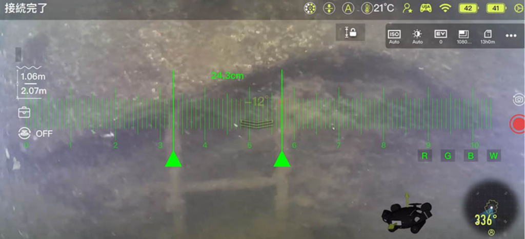
- All‑in‑One Measurement Tool (QY‑MT) – More than an AR laser ruler, QY‑MT adds computer‑vision measurement modes: straight‑line, curve, angle, and area. Values pop up live on the video, making reports crystal clear.
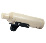
- Rock‑Steady Positioning (Q‑DVL + U‑INS) – A precision navigation bundle that lets the ROV hold its position in strong currents and follow a planned route by itself.
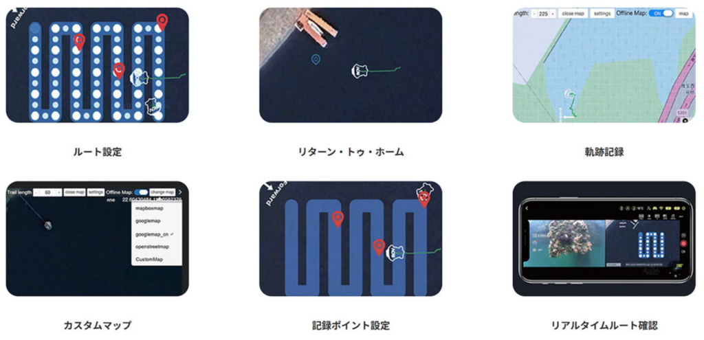
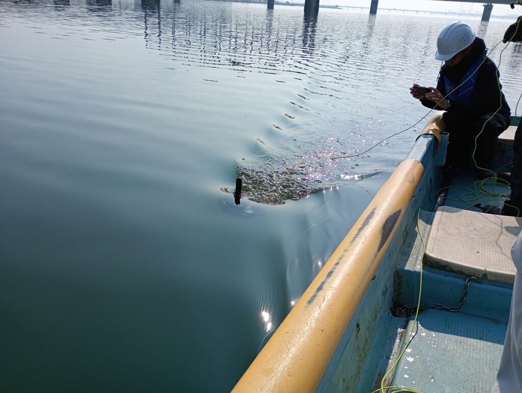
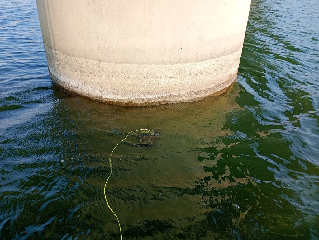
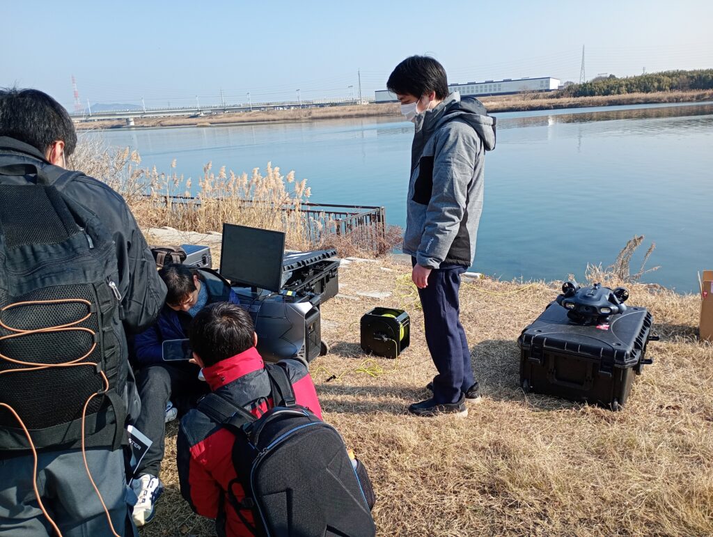
With a single button, the operators sent the ROV to circle each pier, then cruise 500 m upstream and downstream. Live video, depth points, and on‑screen measurements streamed to a laptop on the bank—no one got wet.
3. Results in Under 24 Hours
- Job done in less than a day instead of up to five.
- Only two technicians on shore, zero human risk.
- A colour‑coded 3‑D model of the riverbed plus exact sizes of any scour holes or cracks.
- A concise video recap and digital map delivered the same evening, ready for the maintenance team’s next‑day meeting.
4. Why It Matters
Faster answers mean quicker decisions: the city can schedule repairs before the next flood, avoid emergency closures, and save budget on dive crews and boat hire. Because the mission path is stored, the same survey can be repeated after heavy rain to spot changes instantly.
5. Make Your Underwater Checks Easy
FIFISH E‑MASTER NAVI turns high‑risk dive work into a fast desktop task. If you look after bridges, dams, ports, or pipelines, let us show you how quick, safe, and affordable underwater surveys can be.
類似のソリューションに興味がありますか?メッセージを残してください。
シェア: