










QYSEA Showcases Compact ROV Inspection and Survey at PETRONAS Technology Day
2026-09-09
シェア:


On 9 September 2026, QYSEA brought its underwater robotics technology to Port Klang, Malaysia, for a Compact ROV Technology Day with PETRONAS at the National Hydrographic Centre (PHN). Bringing together PETRONAS, PHN and QYSEA teams, the event combined technical discussions, live demonstrations and hands-on piloting to explore new approaches to underwater inspection and survey.
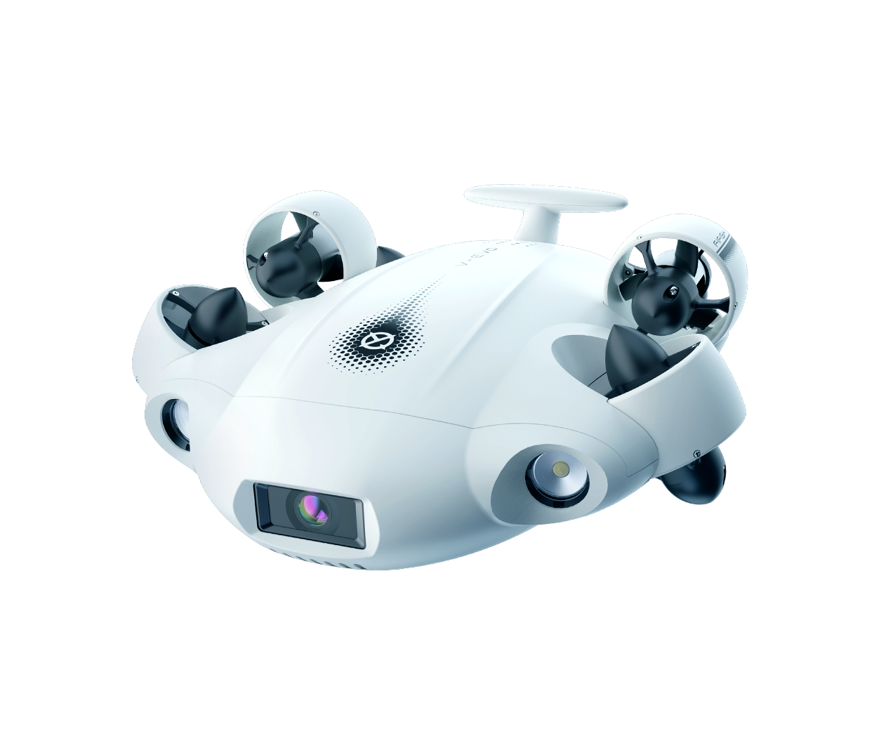
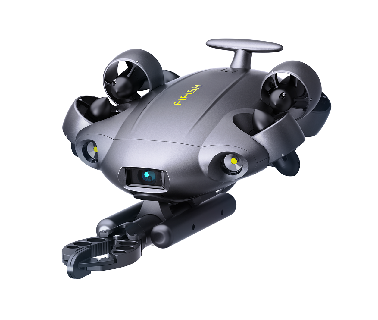
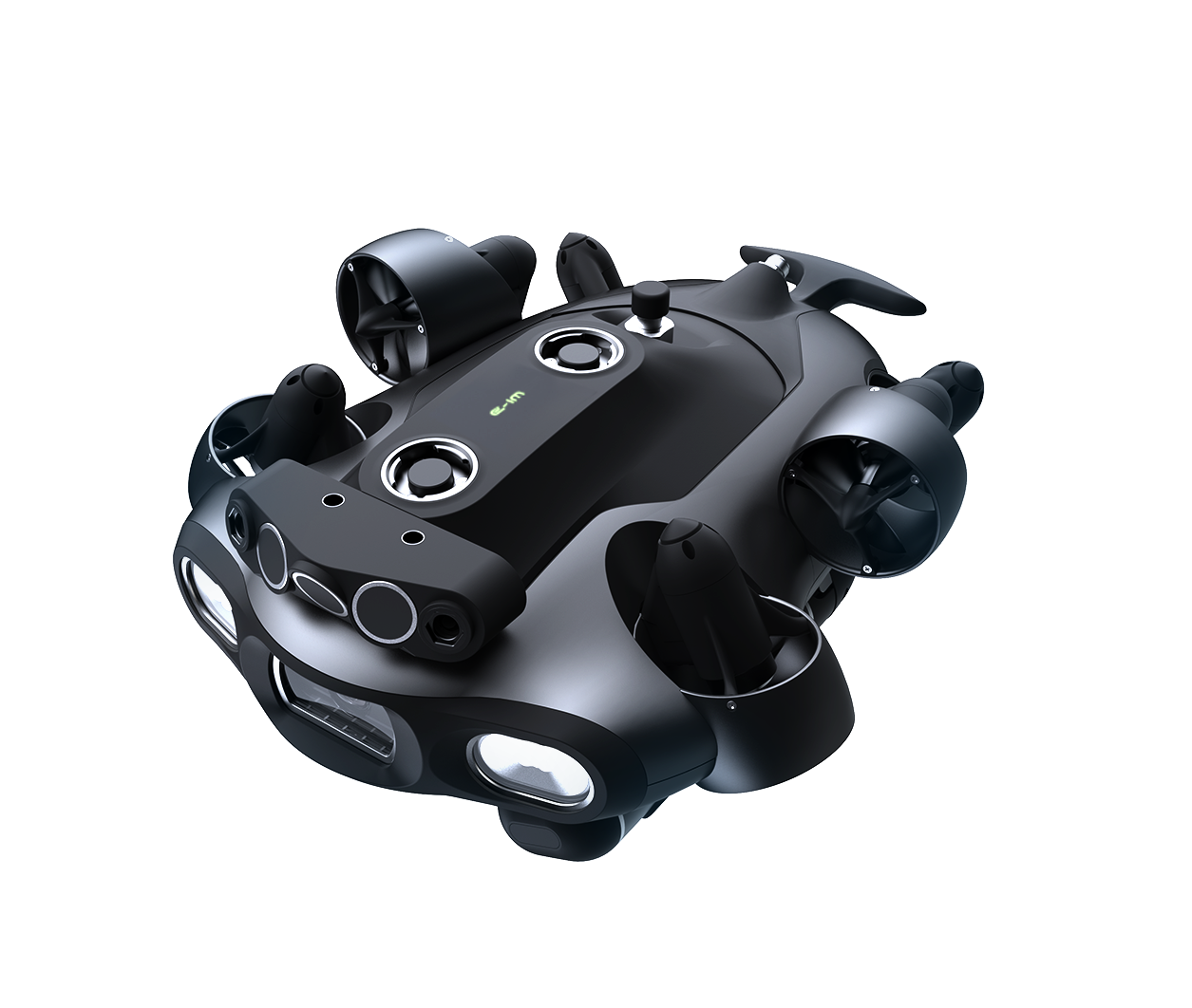
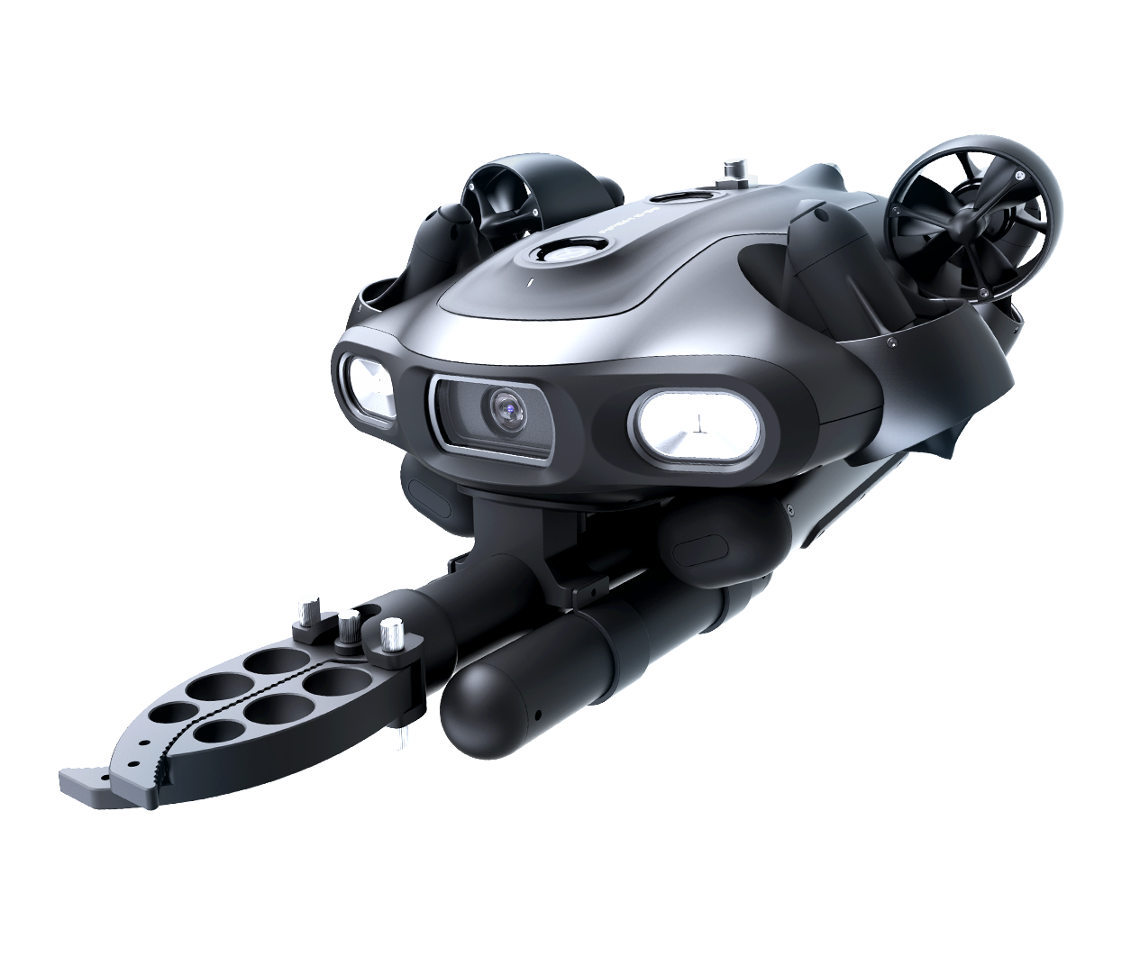
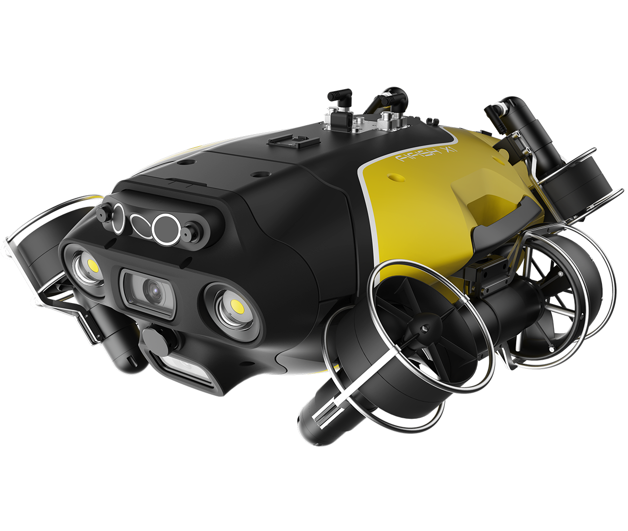
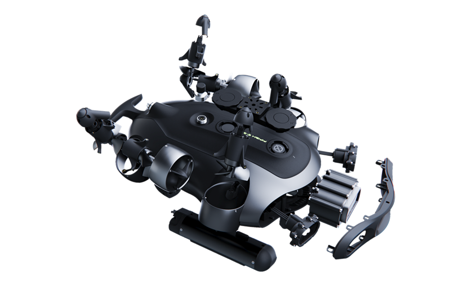
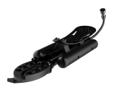
With the X1 leading the demonstrations and the compact E-MASTER NAVI also on site, QYSEA showcased how accessible underwater robotics can connect operational teams with the structures and information beneath the surface.
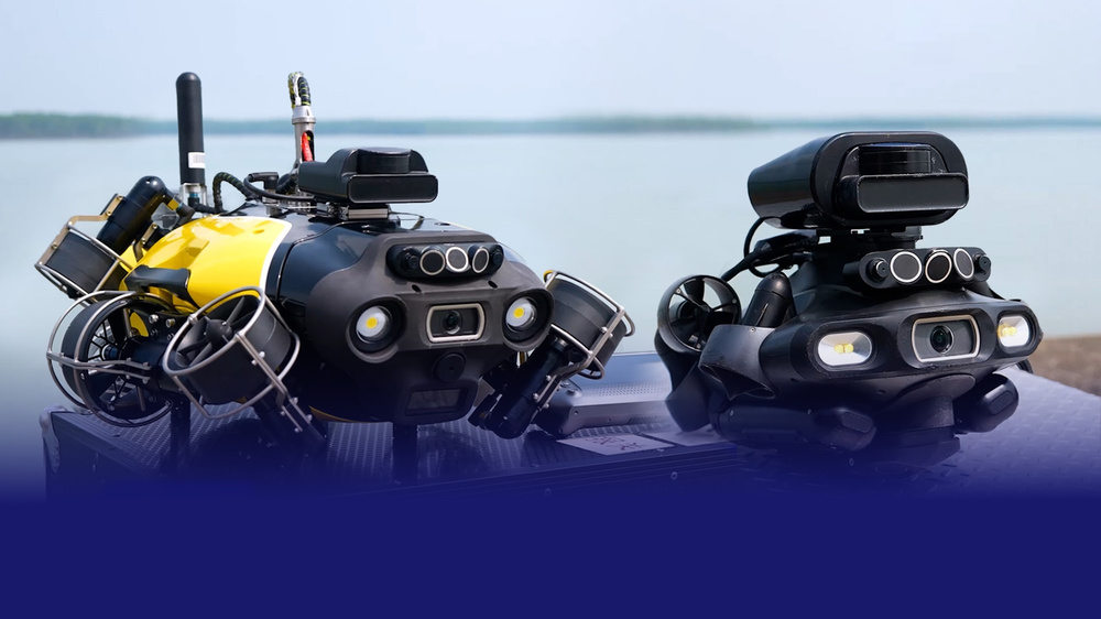
QYSEA X1 and E-MASTER NAVI at PETRONAS Compact ROV Technology Day.
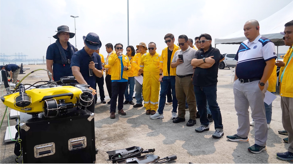
QYSEA Team introduces the ROV & attachment line-up for PETRONAS.
SEEING BEYOND THE CAMERA VIEW
Port Klang’s turbid water brought a familiar industry challenge into focus: reaching and inspecting structures when visibility is limited.
Equipped with 2D imaging sonar, the X1 located underwater targets and navigated between submerged piles, helping operators understand their surroundings beyond the camera view. The live demonstration showed the practical value of combining sonar-assisted navigation with controlled positioning for close-range inspection tasks.
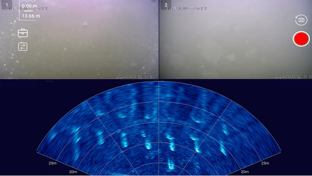
Imaging sonar reveals submerged structures in turbid water.
TURNING UNDERWATER ACCESS INTO USEFUL INFORMATION
The demonstrations moved from locating targets to obtaining measurements. Integrated ultrasonic thickness testing displayed live readings through the control interface, giving participants a direct view of the X1’s inspection tooling in action.
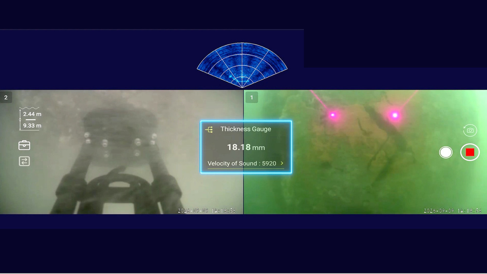
Live ultrasonic thickness readings during the X1’s underwater demonstration.
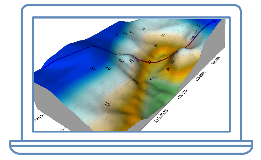
Seabed mapping added another dimension. As the X1’s survey equipment acquired depth measurements, QY-BT displayed the incoming data as a live depth map. Recorded data was then processed into a bathymetric contour map, connecting underwater exploration with visual outputs for subsequent review.
Together, these activities highlighted QYSEA’s approach to bringing vehicle control, inspection tools and mapping software into a connected operational workflow.
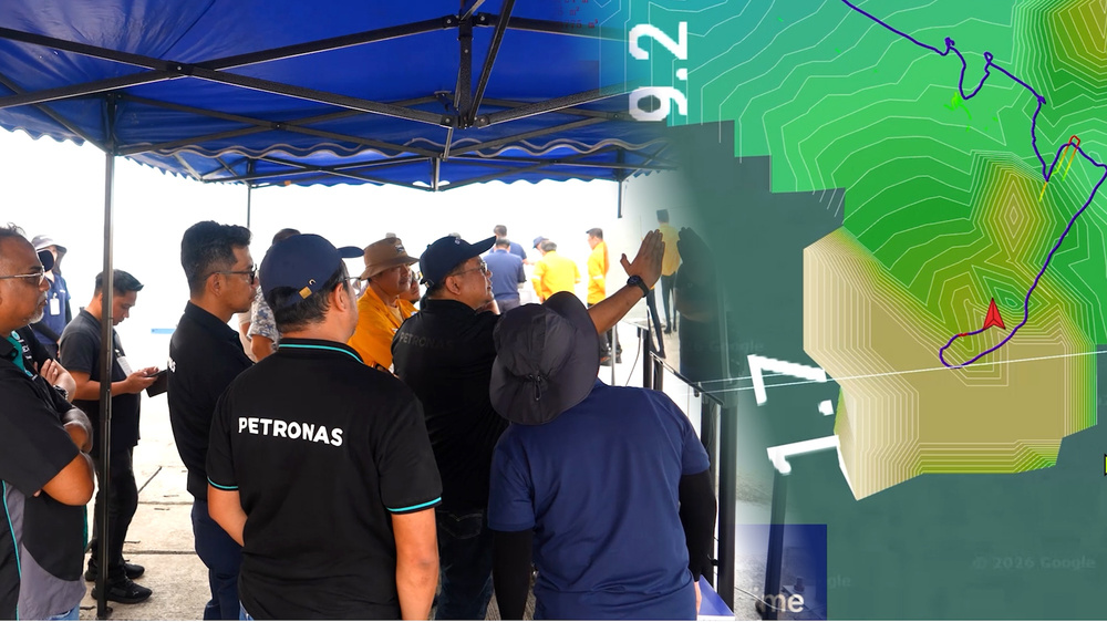
PETRONAS participants explore seabed mapping and survey outputs.
TAKING THE CONTROLS
Participants experienced the technology firsthand, pulling the X1’s tether to observe its response to an external disturbance with DVL-assisted station lock engaged.
シェア: