

Infrastructure
Achieve effortless, dependable, and comprehensive, underwater inspections.

Series
Series
Series
Series
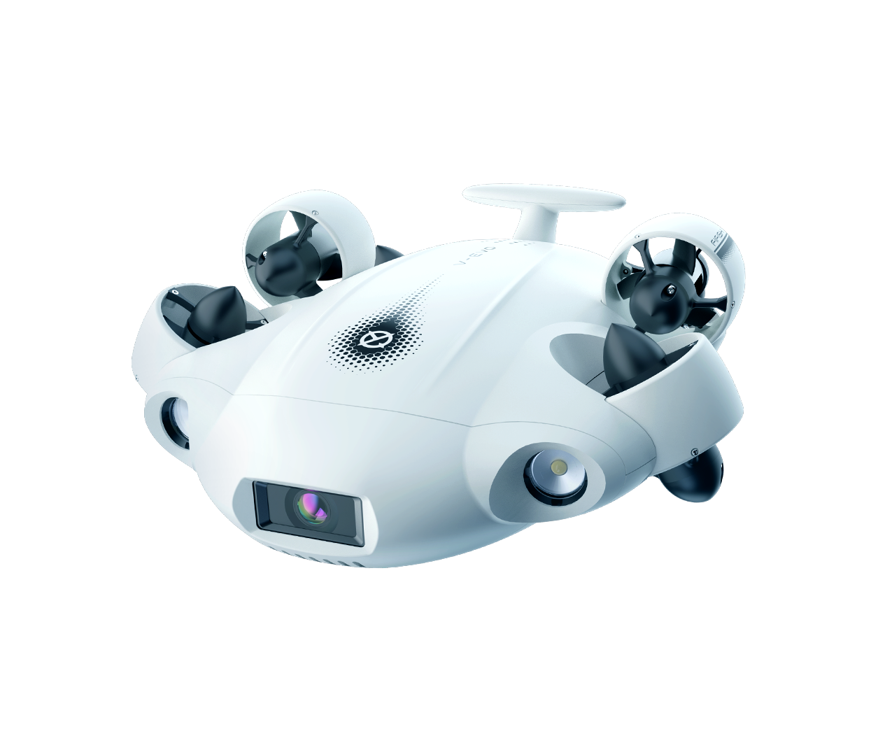
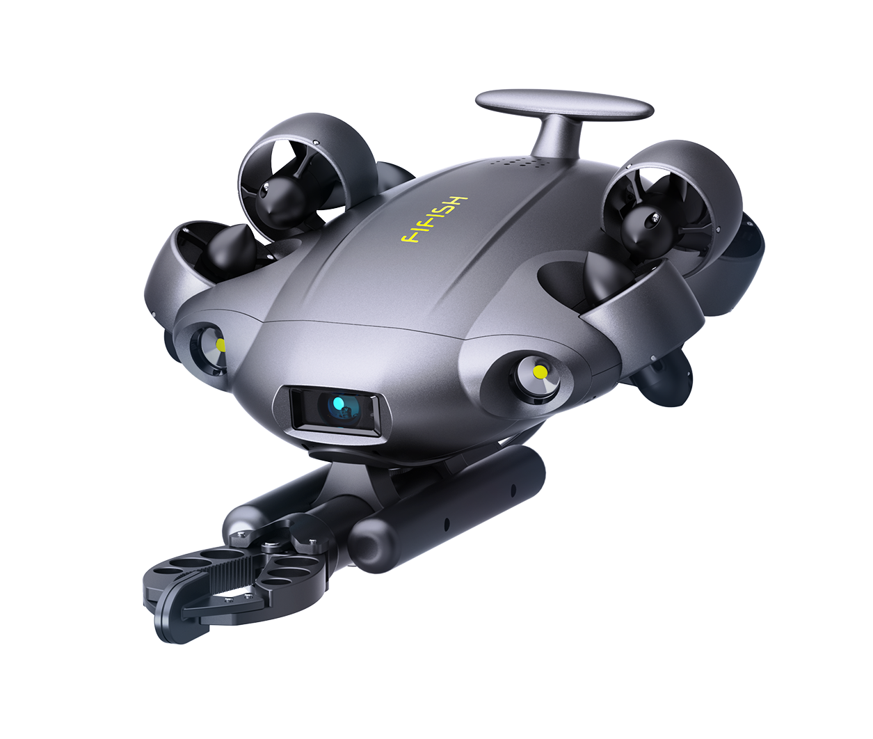
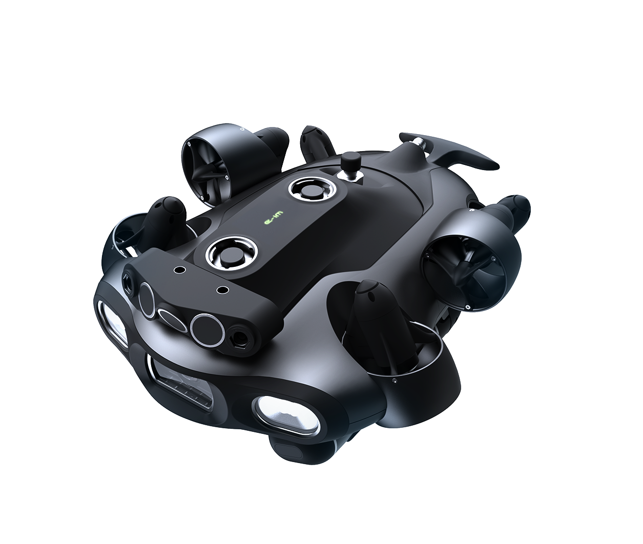
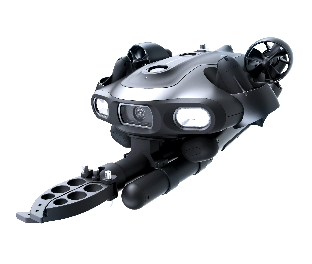
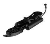
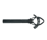
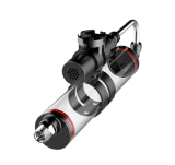
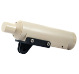


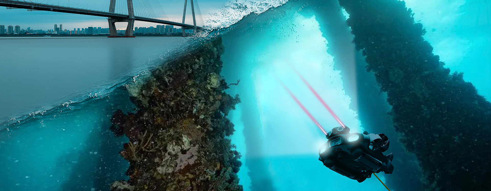
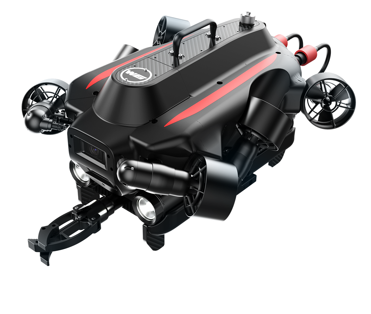
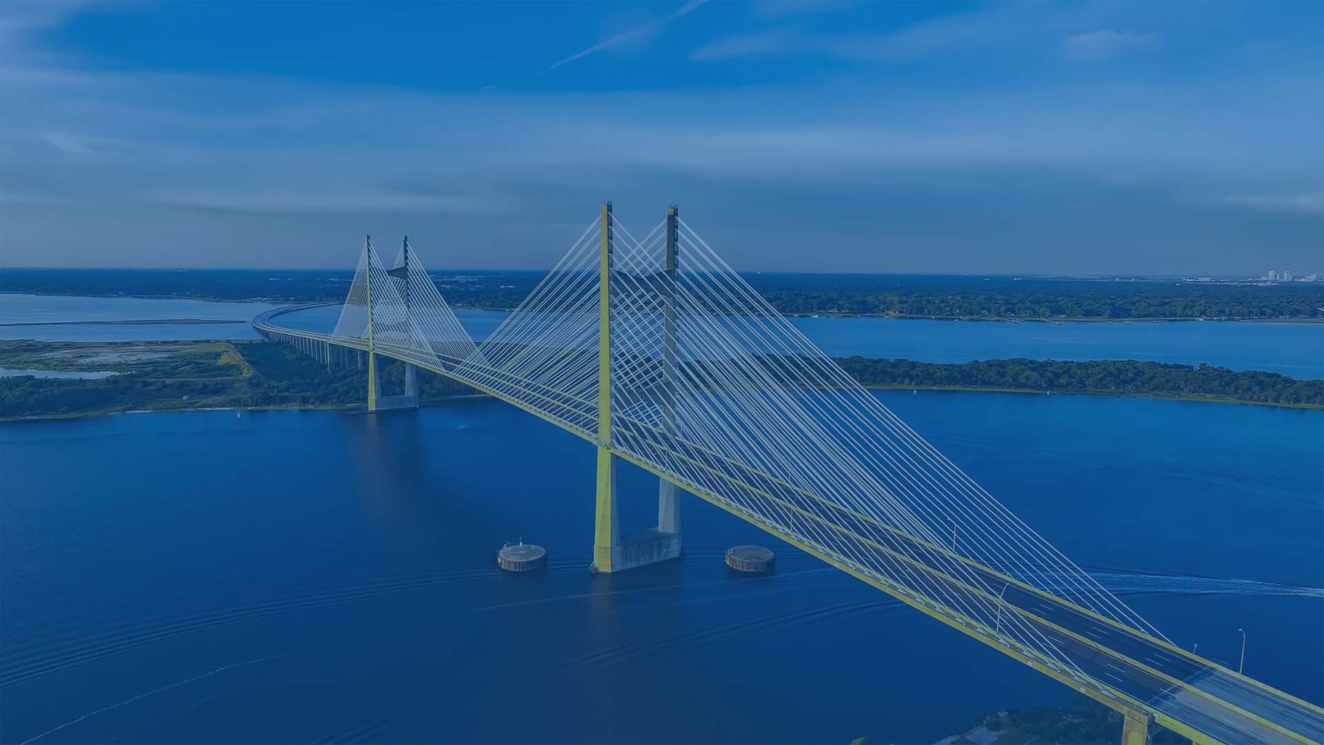
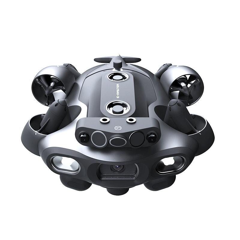
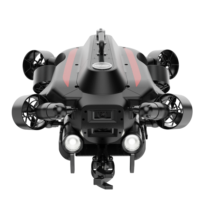
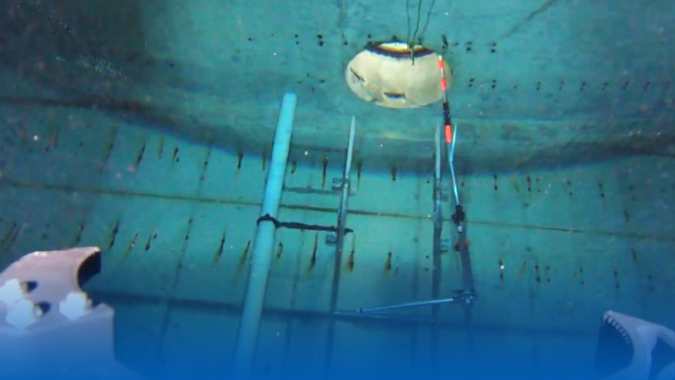
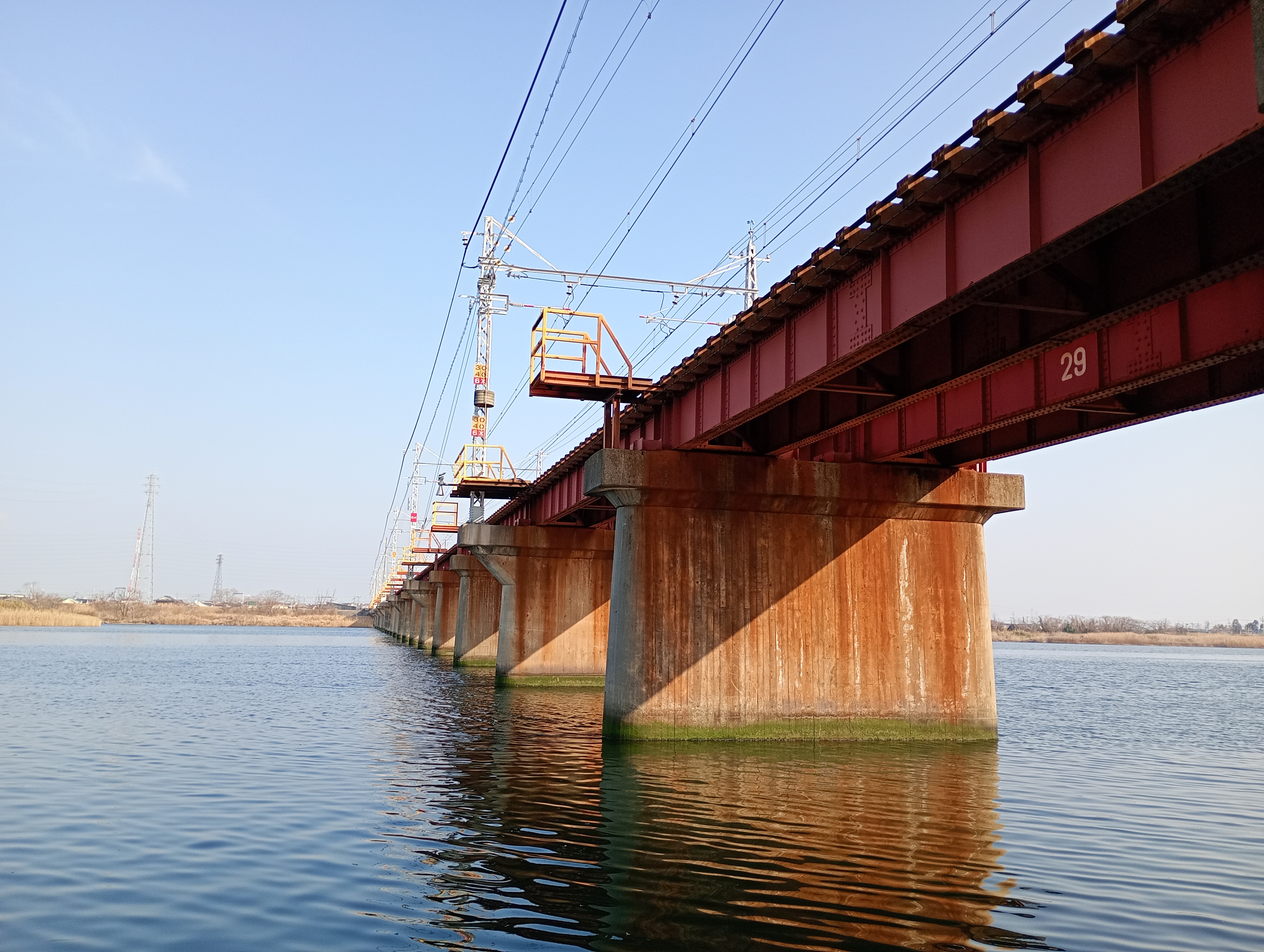
QYSEA ROVs combine hardware and software innovations to offer a comprehensive underwater infrastructure inspection solution. Designed for diverse scenarios like bridges, hydropower stations, and pipelines, it streamlines workflows, reduces risks, and improves accuracy.



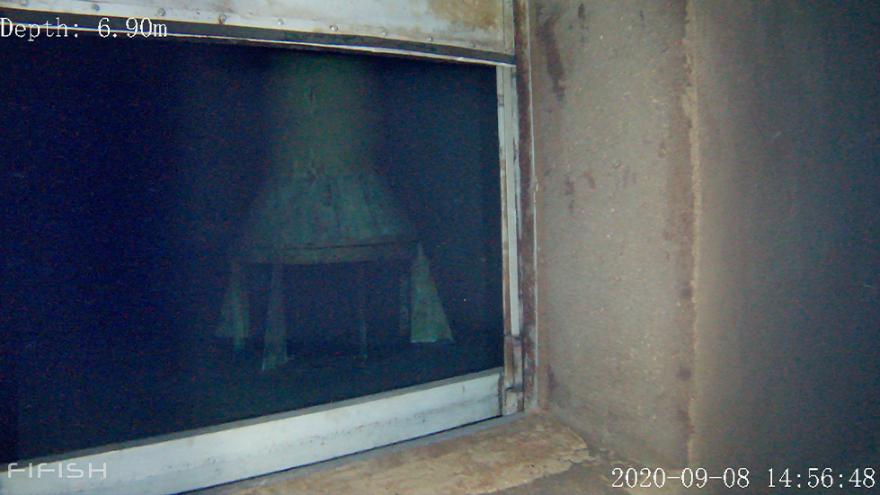
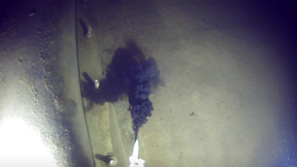
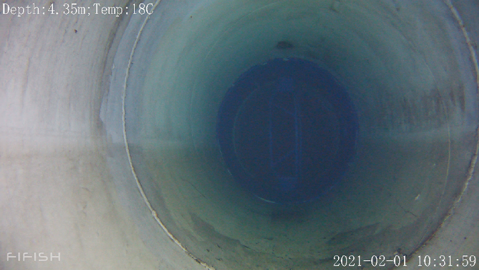
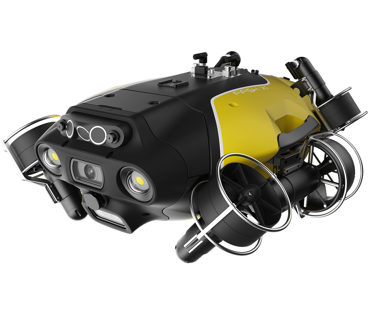
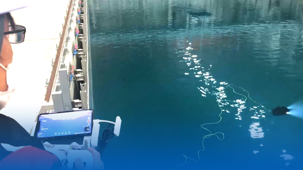
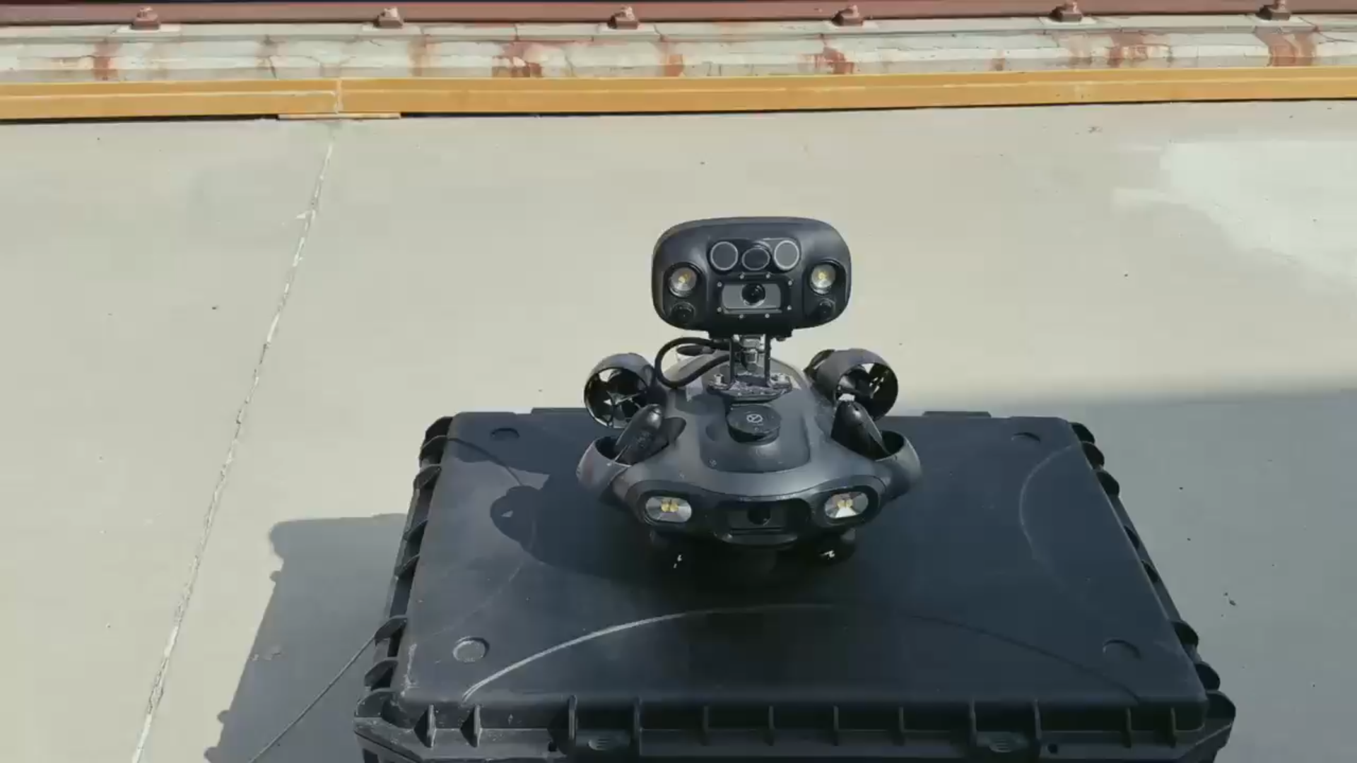
FIFISH ROVs are compact and portable, ready to go with just a lift. They can be prepared and deployed in 3-5 minutes, easily set up onshore or on working platforms, Improving efficiency in the water conservancy industry.
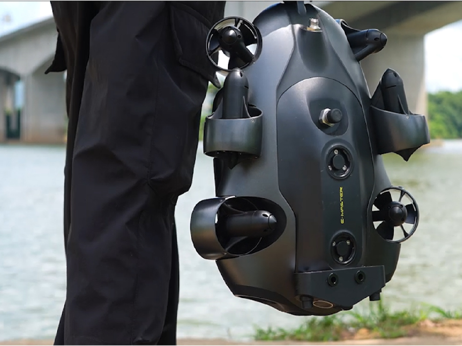
Lightweight Body
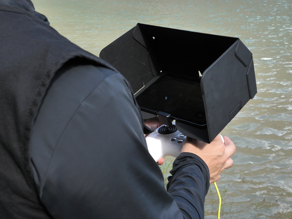
1-2 Person Operation
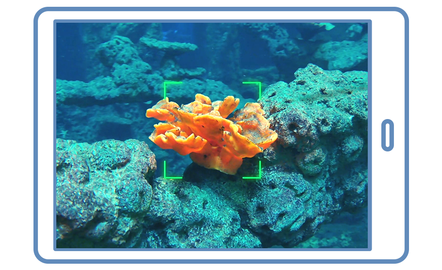
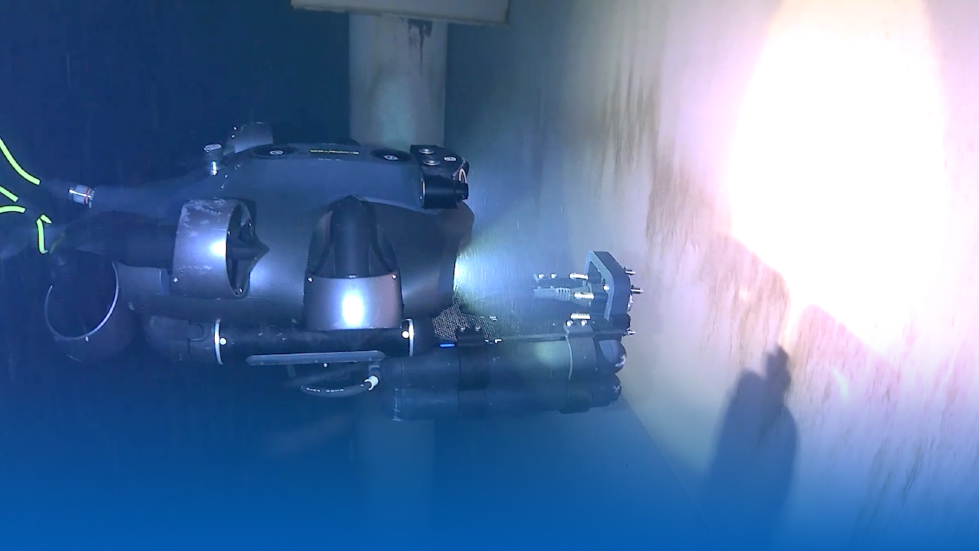
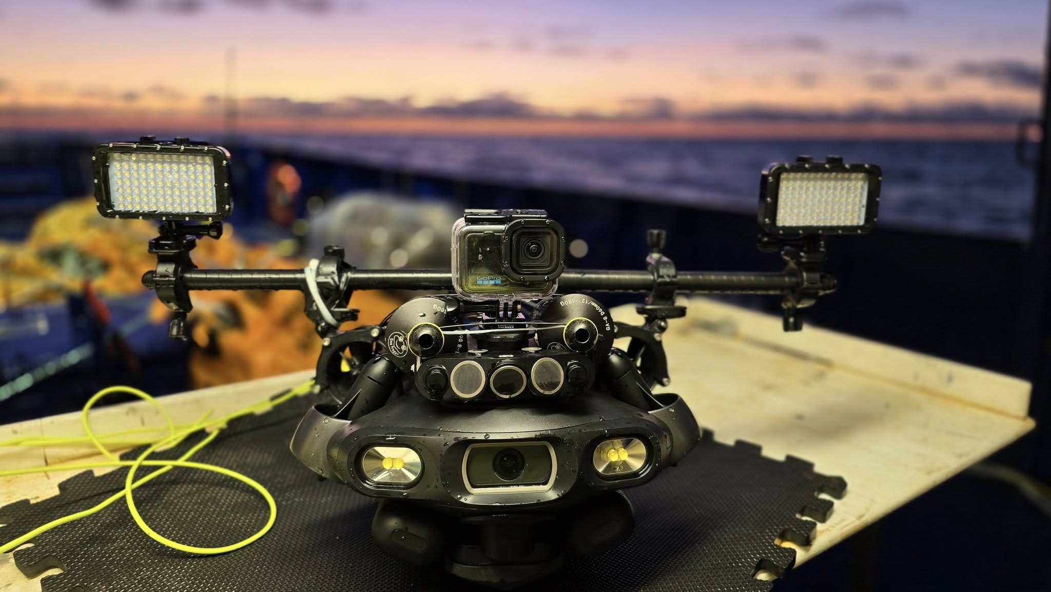
FIFISH ROV’s high-lumen LED lights and optical lenses optimize underwater imaging. Its 4K camera offers a 176-degree wide view, enhancing efficiency in enclosed spaces and underwater infrastructure. The FIFISH app combines a first-person perspective with measurement tools for more intuitive operations.
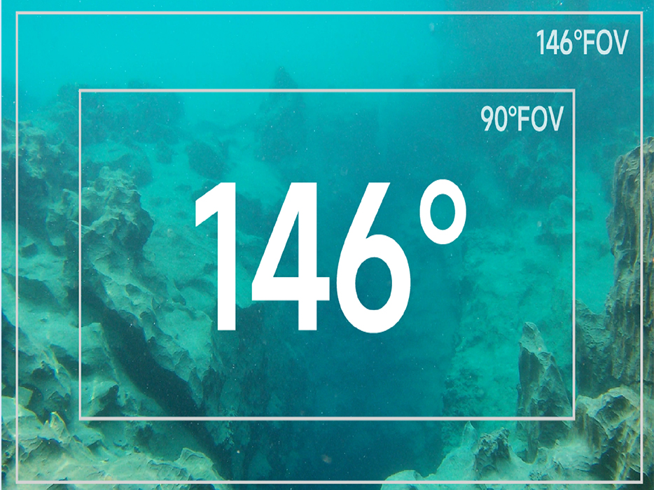
Vivid & Luminous Lighting System
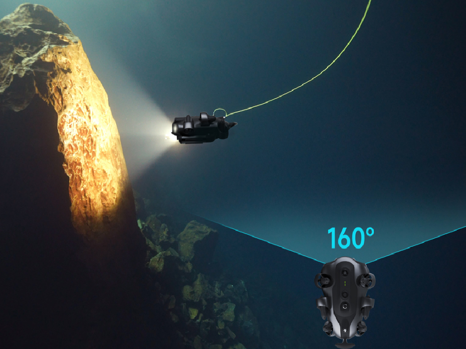
Ultra-wide 4k Camera
Intuitive APP Control & Measurement
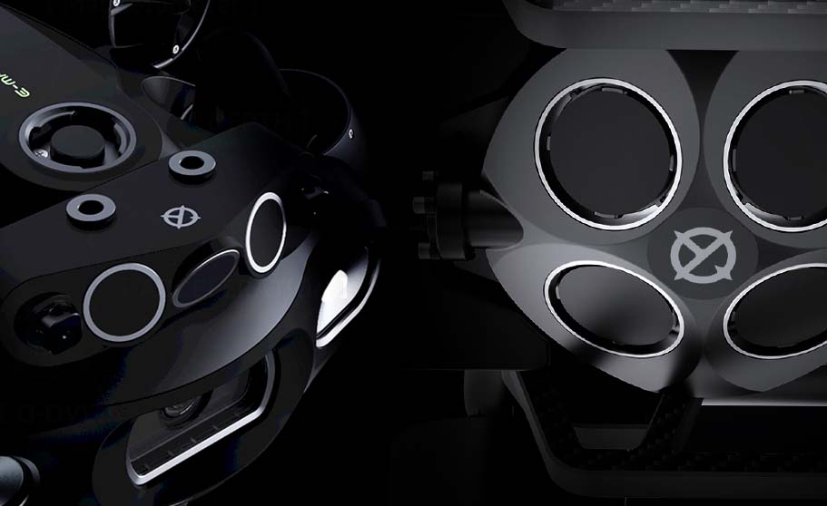
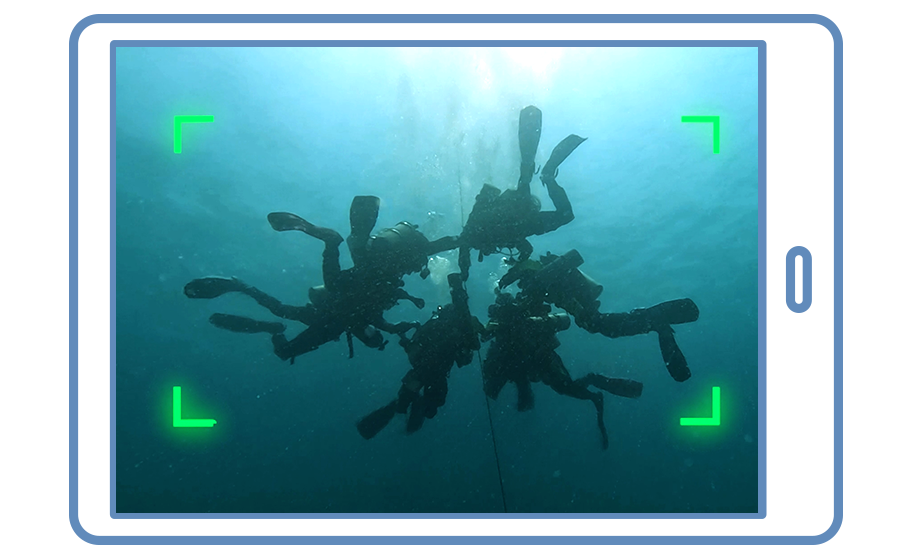
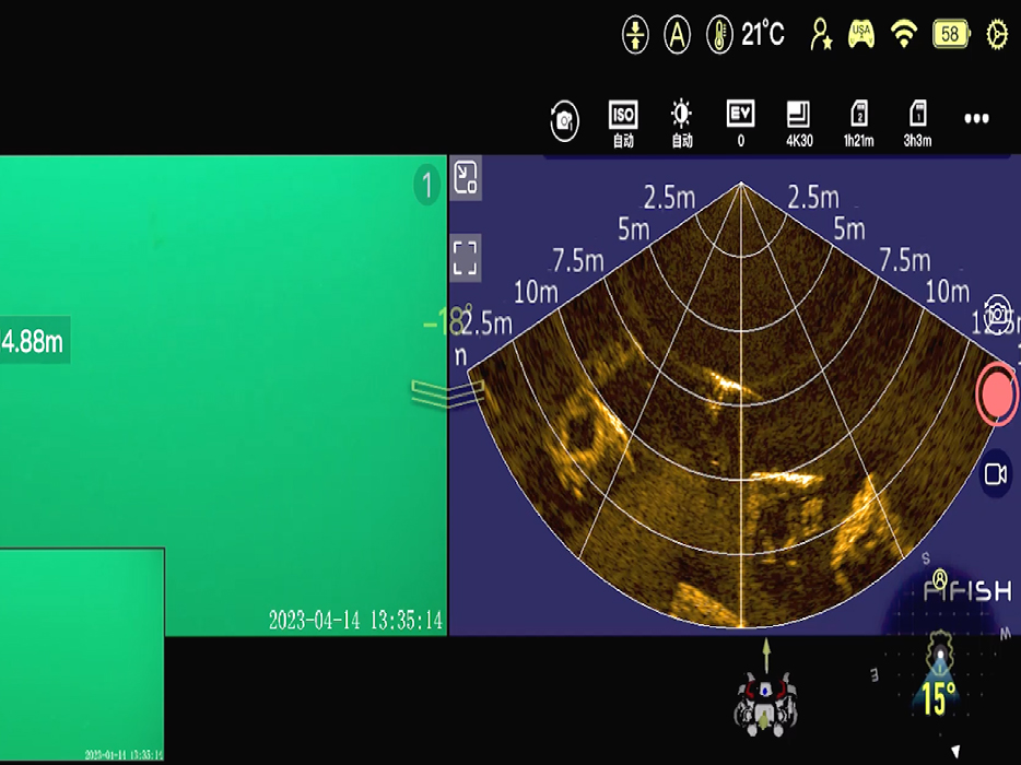
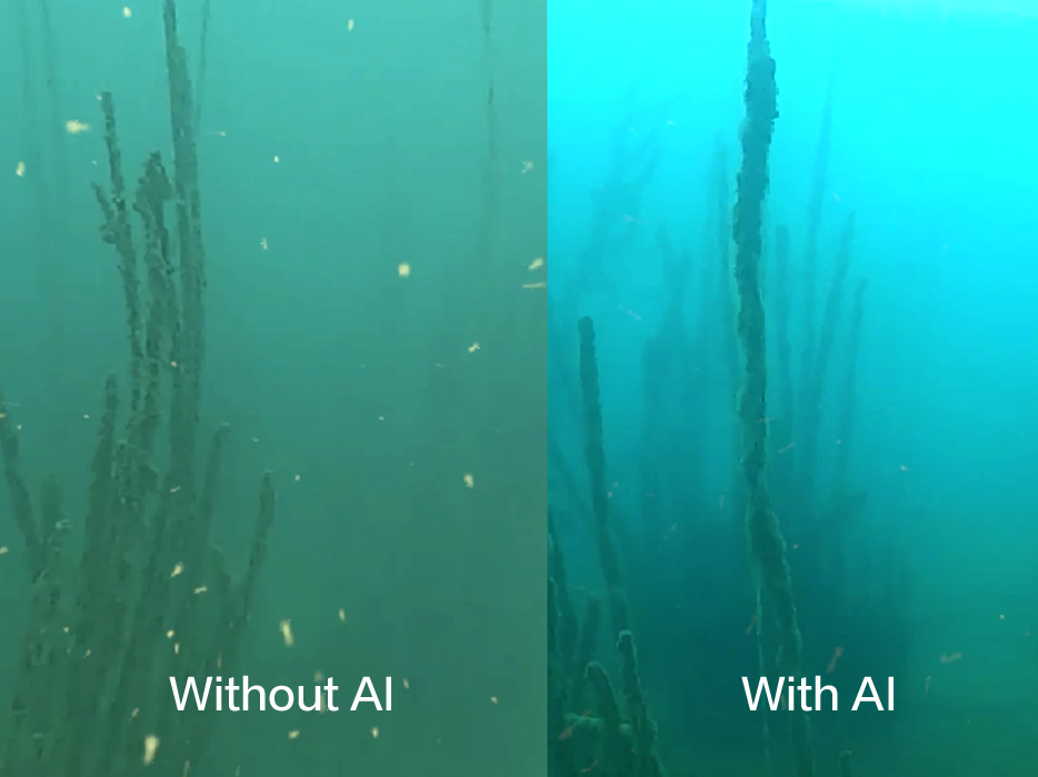
QYSEA’s proprietary AI filtering algorithm and 2D imaging sonar provide clear imaging by reducing particulate interference, enhancing rescue accuracy and efficiency.
AI Image Enhancement
2D Imaging System
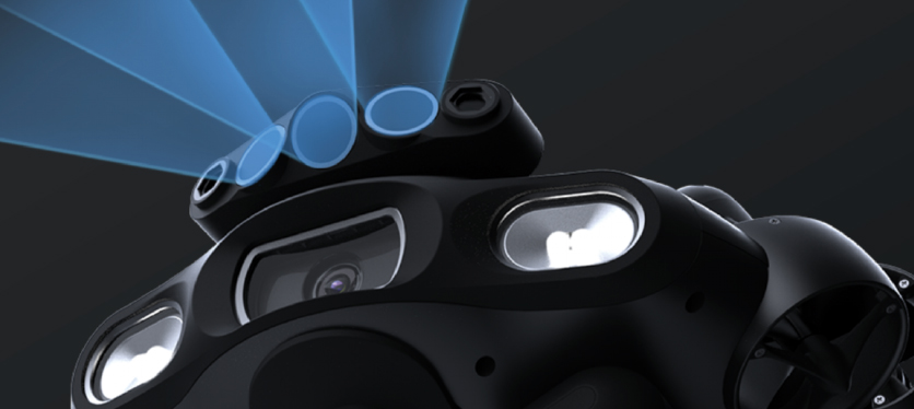
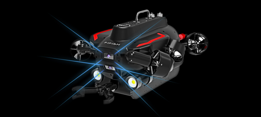
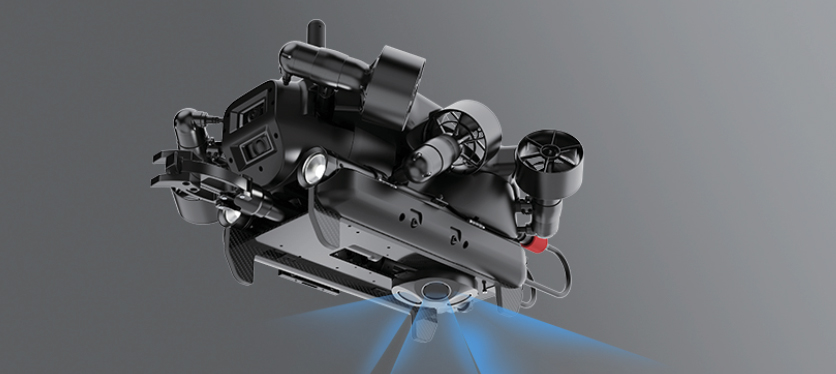
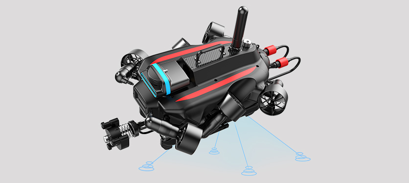
QYSEA features advanced underwater stability and safety capabilities. Equipped with QYSEA’s elf-developed Q-DVL system. Additionally, it supports intelligent collision avoidance, distance measurement, and height hold functions, ensuring stable operation in turbulent waters and significantly improving task safety and inspection efficiency.
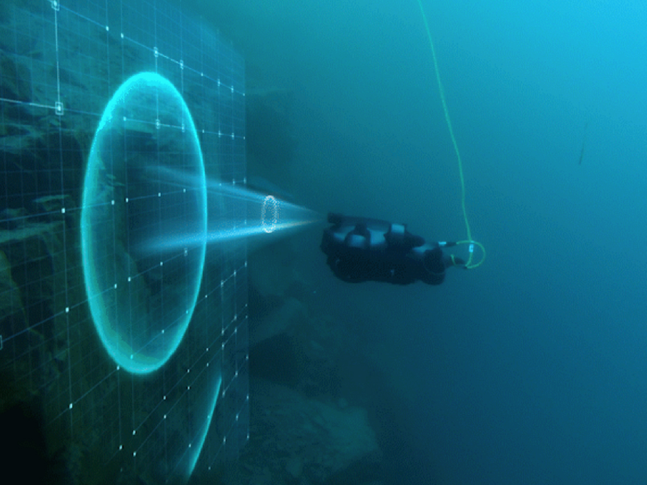
Forward Collision Avoidance
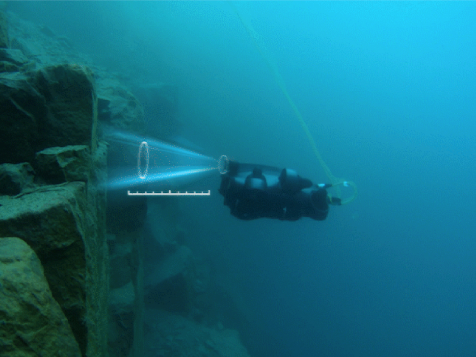
Forward Distance Lock
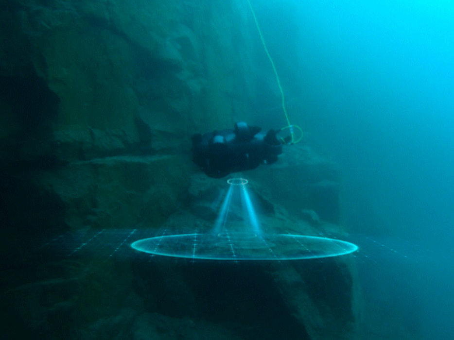
Downward Collision Avoidance
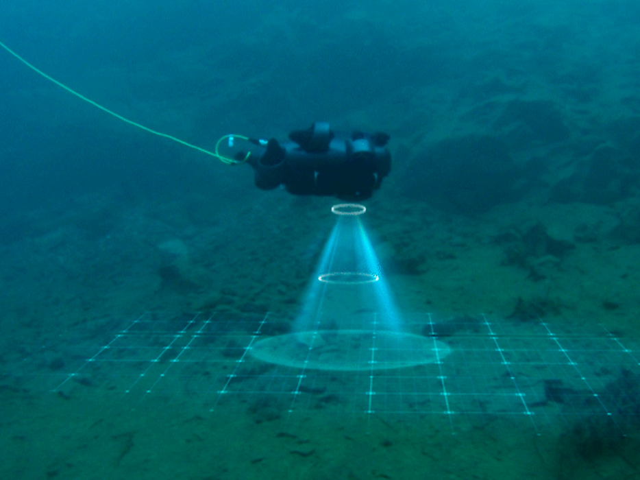
Downward Altitude Lock
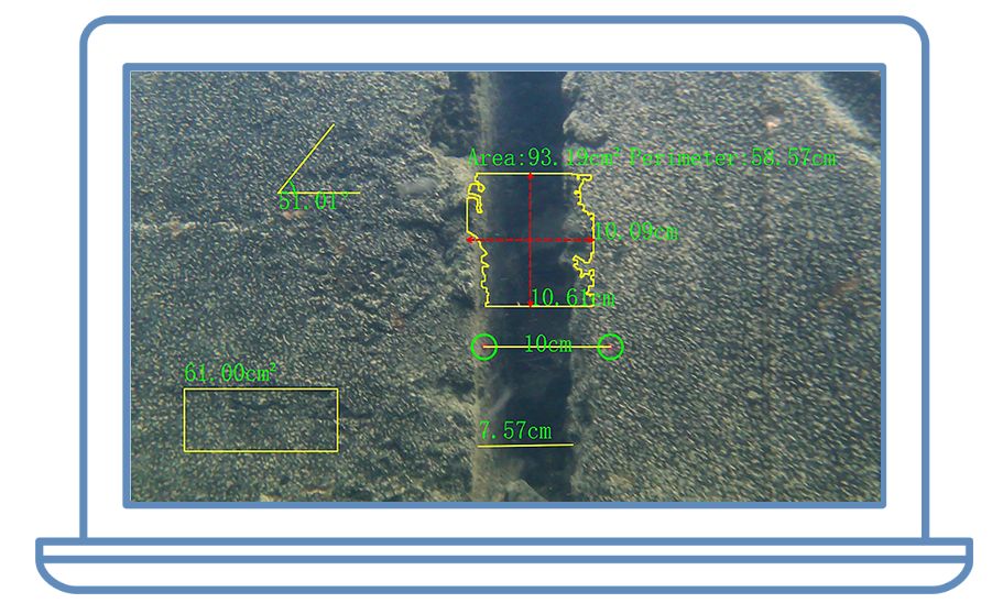
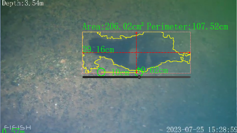
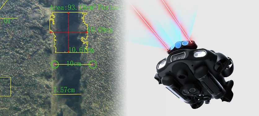
QY-MT smart measurement system, offering multiple measurement modes, including length, curve, angle, rectangular, polygonal, and irregular shapes for measuring dimensions, perimeter, and area. Measurement accuracy reaches millimeter level, meeting the diverse inspection needs of the water conservancy industry.
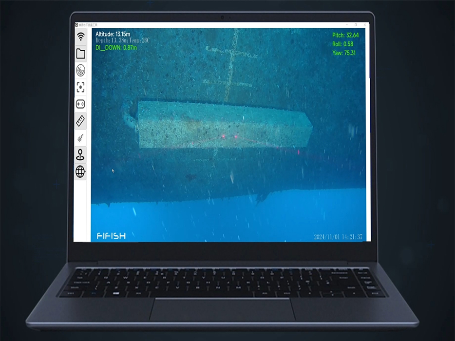
QY-MT Measurement System
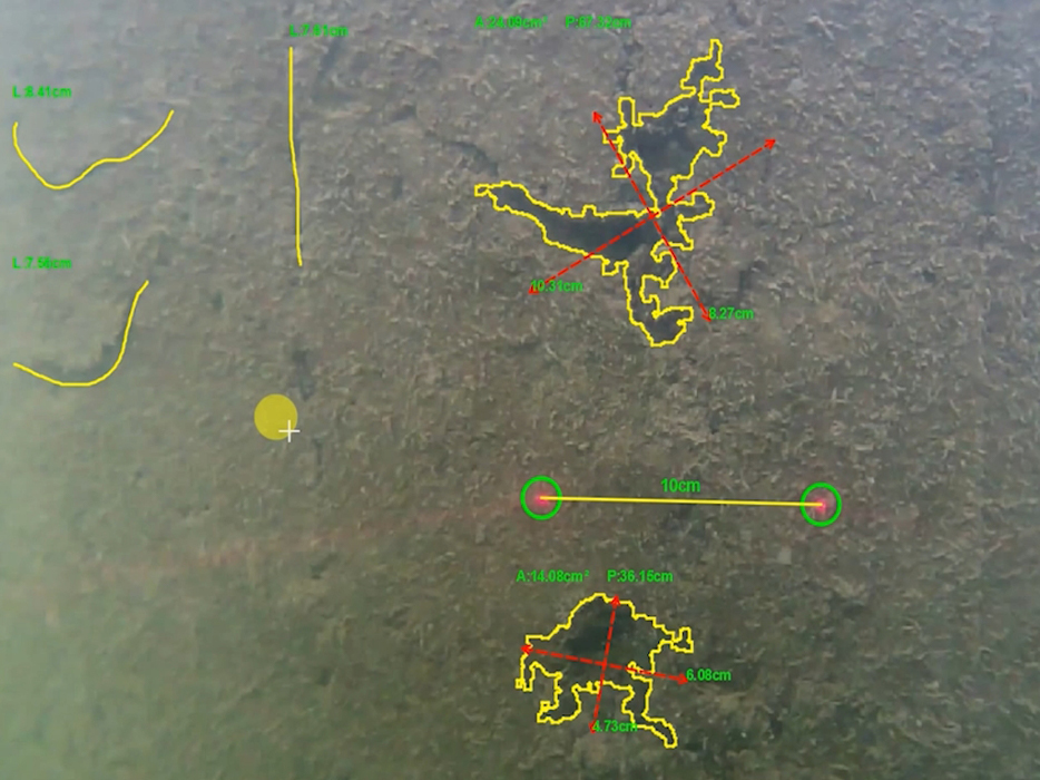
Multi-measurement Mods
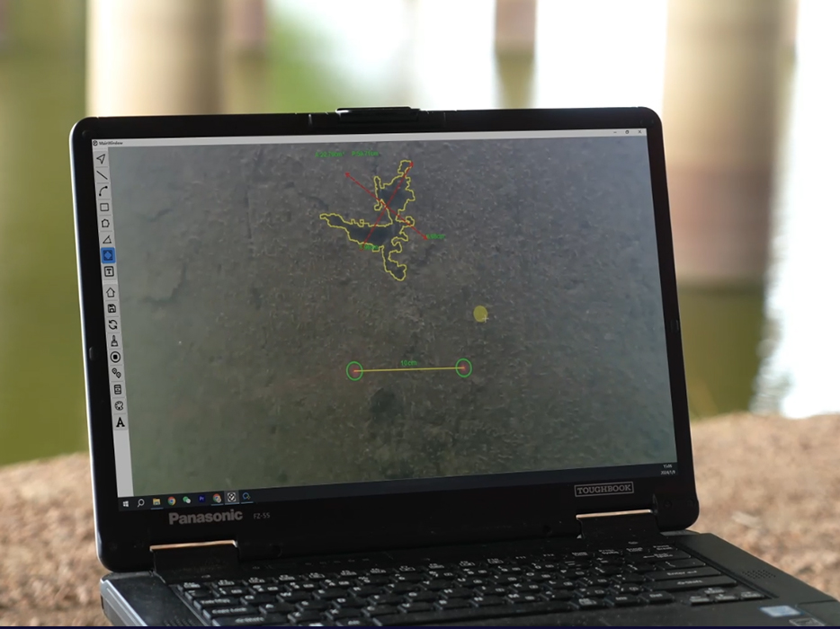
Real-time & Offline Measurement
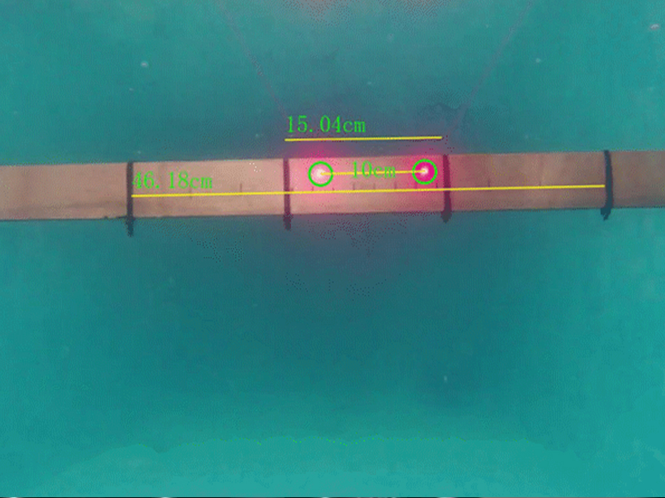
Precise Accuracy
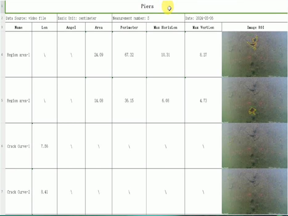
Efficient Report Exports
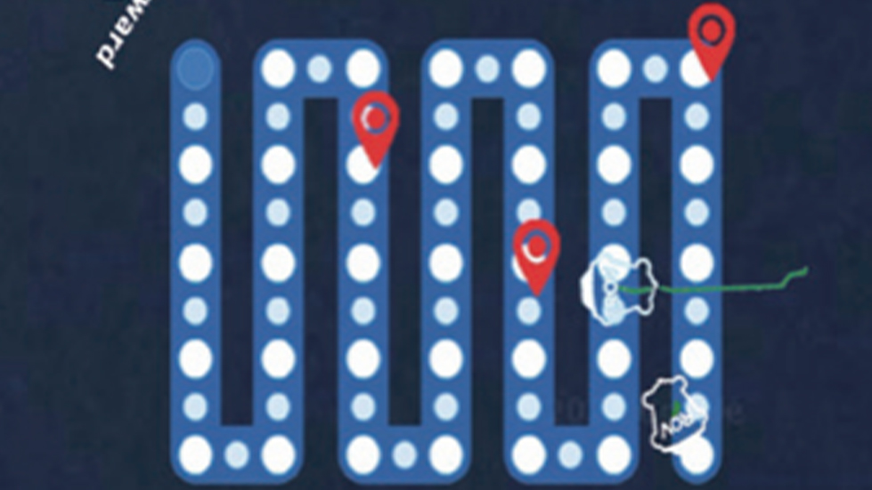
QYSEA offers delivers high-precision underwater positioning and navigation for the water conservancy industry. By integrating our Q-DVL with sensors, it enables 3D path planning, POI, and one-click return-to-home, streamlining damage identification, reducing inspection workload, and providing a cost-effective solution.
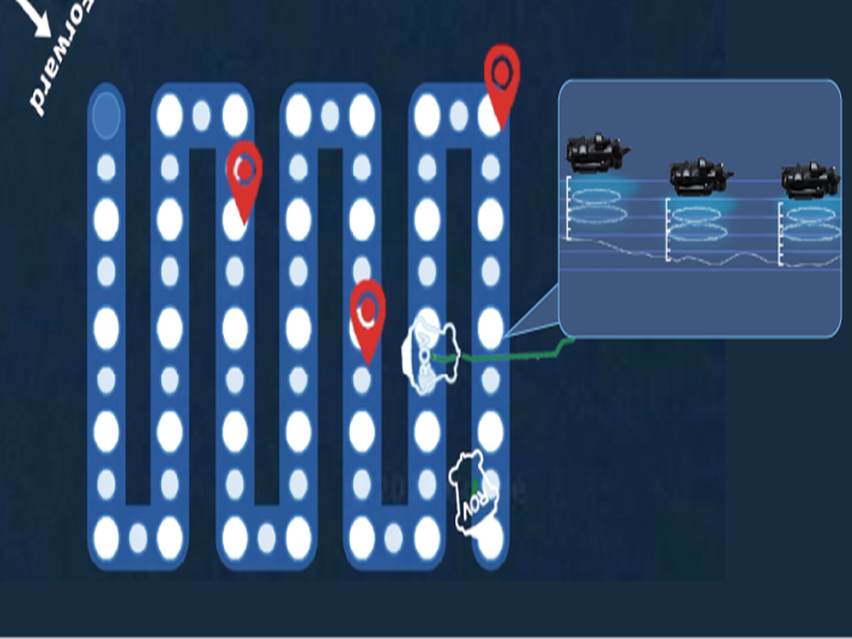
Subsea Path Planning
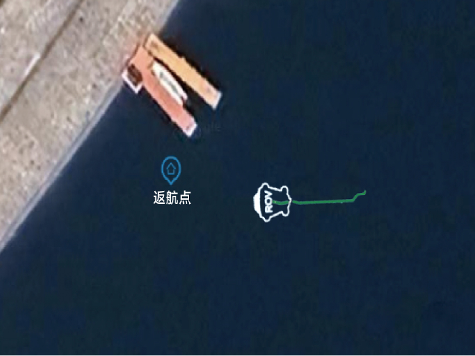
One-touch Return to Home
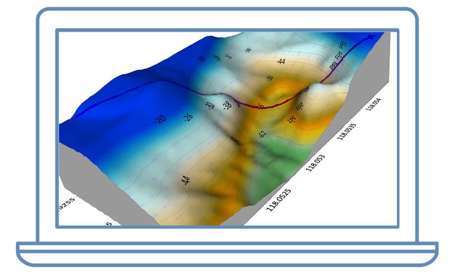
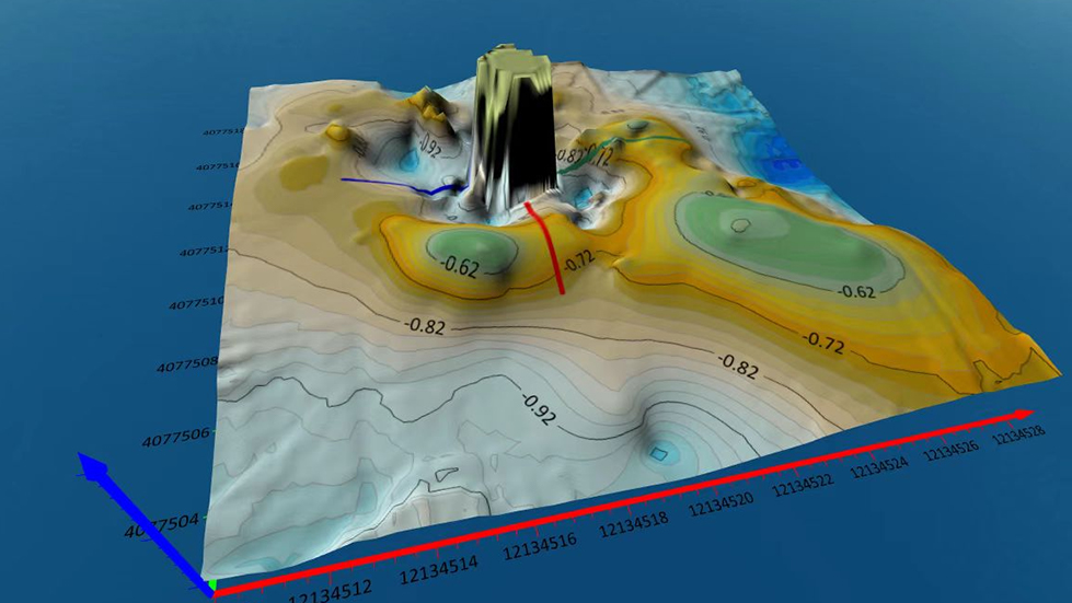
QY-BT smart depth mapping system is ideal for reservoirs, waterways, river channels, and dam assessments. It quickly generates 2D/3D terrain maps, estimates capacity, and creates one-click data reports, streamlining mapping, boosting efficiency, and supporting reliable terrain data for water conservancy.
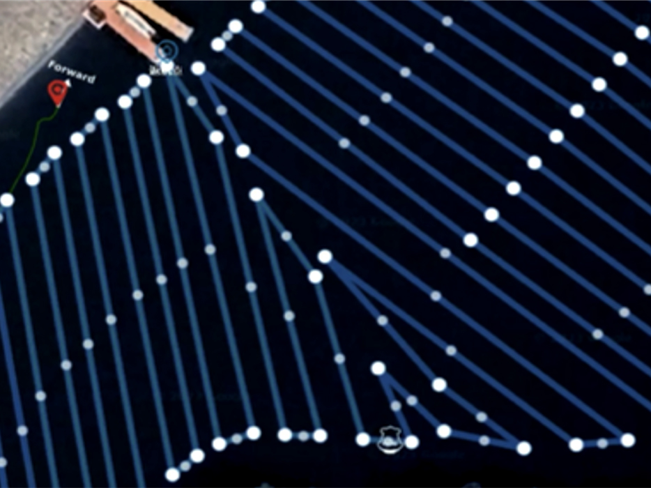
Auto Path Planning & Recording
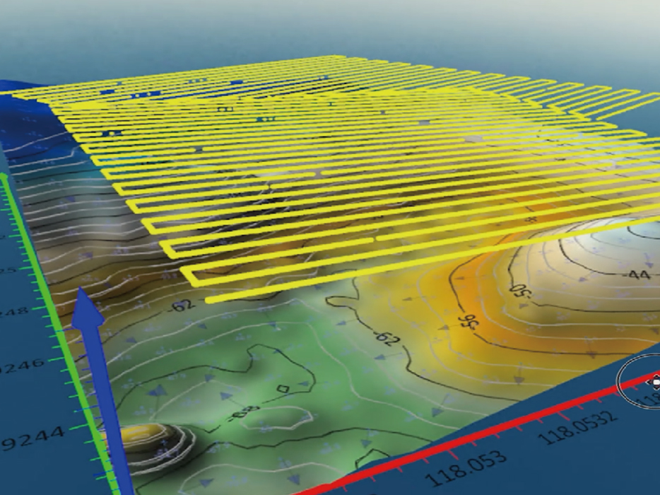
2D & 3D Seafloor Map Generation
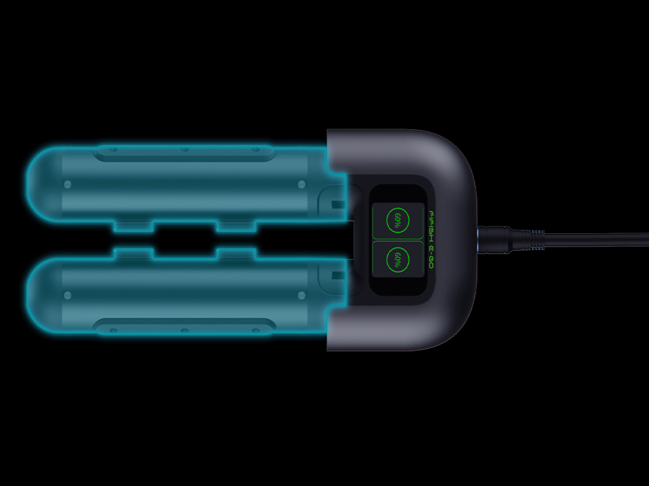
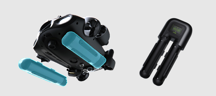
QYSEA delivers options for a direct power system or intelligent battery management allow for uninterrupted 24/7 rescue missions, meeting long-duration operational needs.
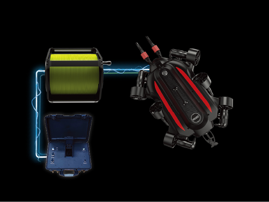
Portable Charging Station (Q-Energy)
Direct Power Supply System
Contact Us
Contact Our Industry Specialists Today.


Copyright © 2026 QYSEA Technology Privacy Policy | Terms & Conditions