

Education & Research
Dive into the essential world of subsea research, science & discovery.

Series
Series
Series
Series
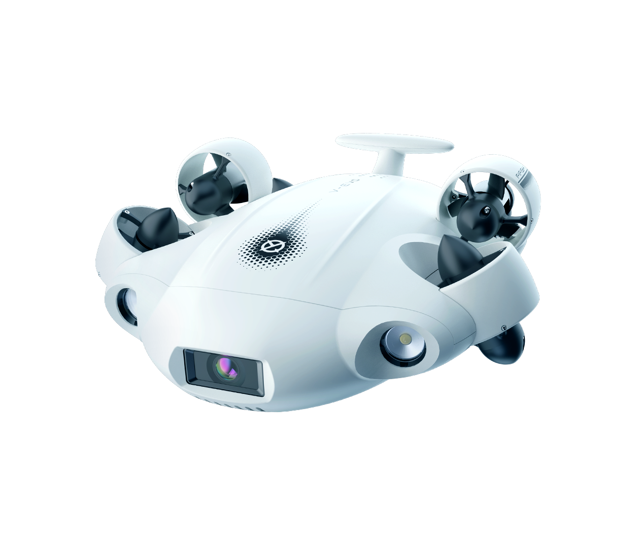
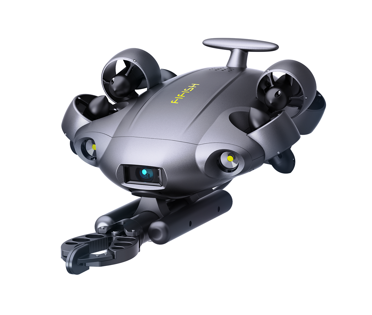
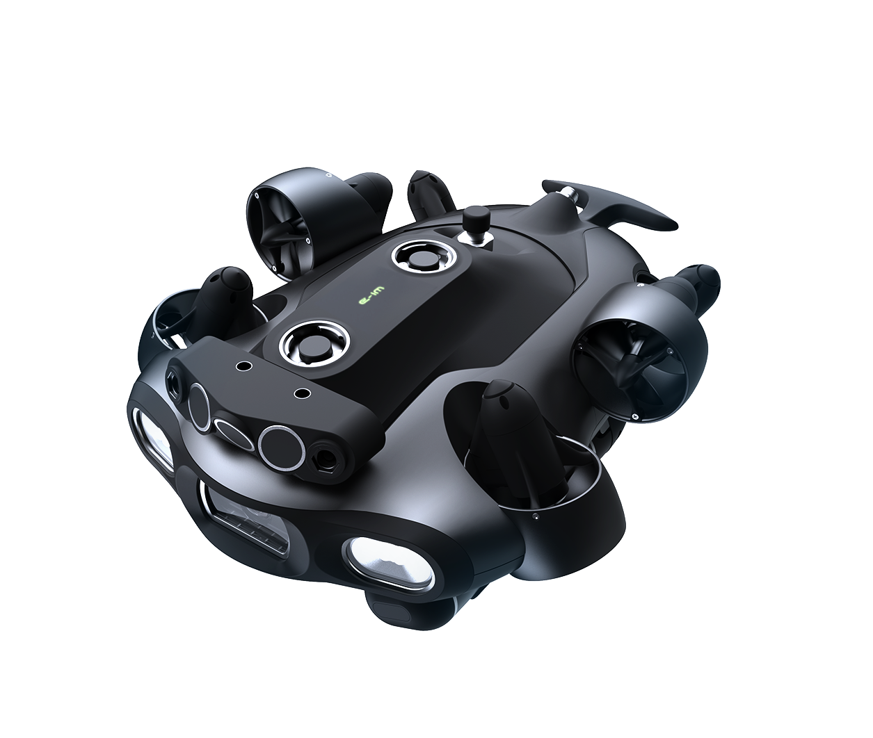
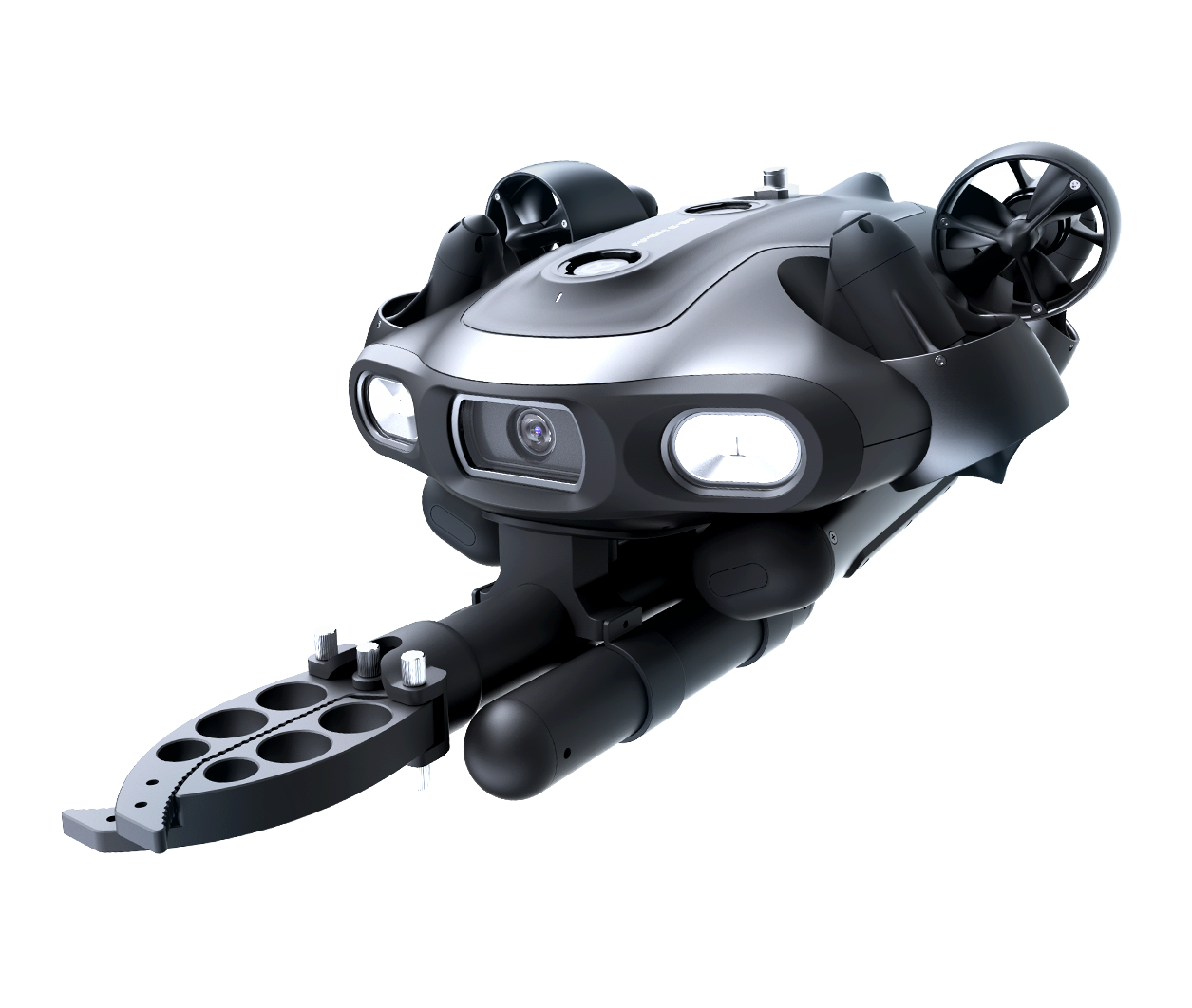

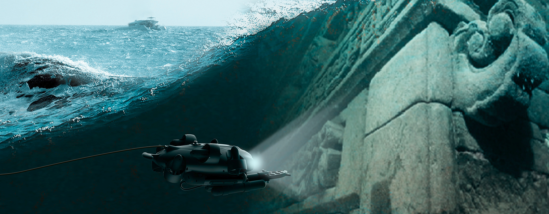
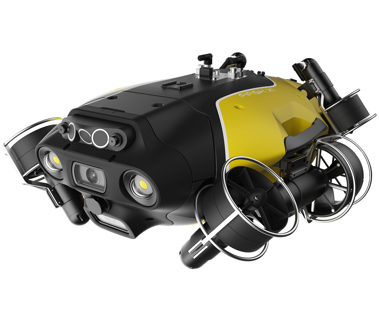
QYSEA enables safe, efficient underwater scientific exploration and serves as an essential tool for research missions, as well as education in science, technology, and engineering.






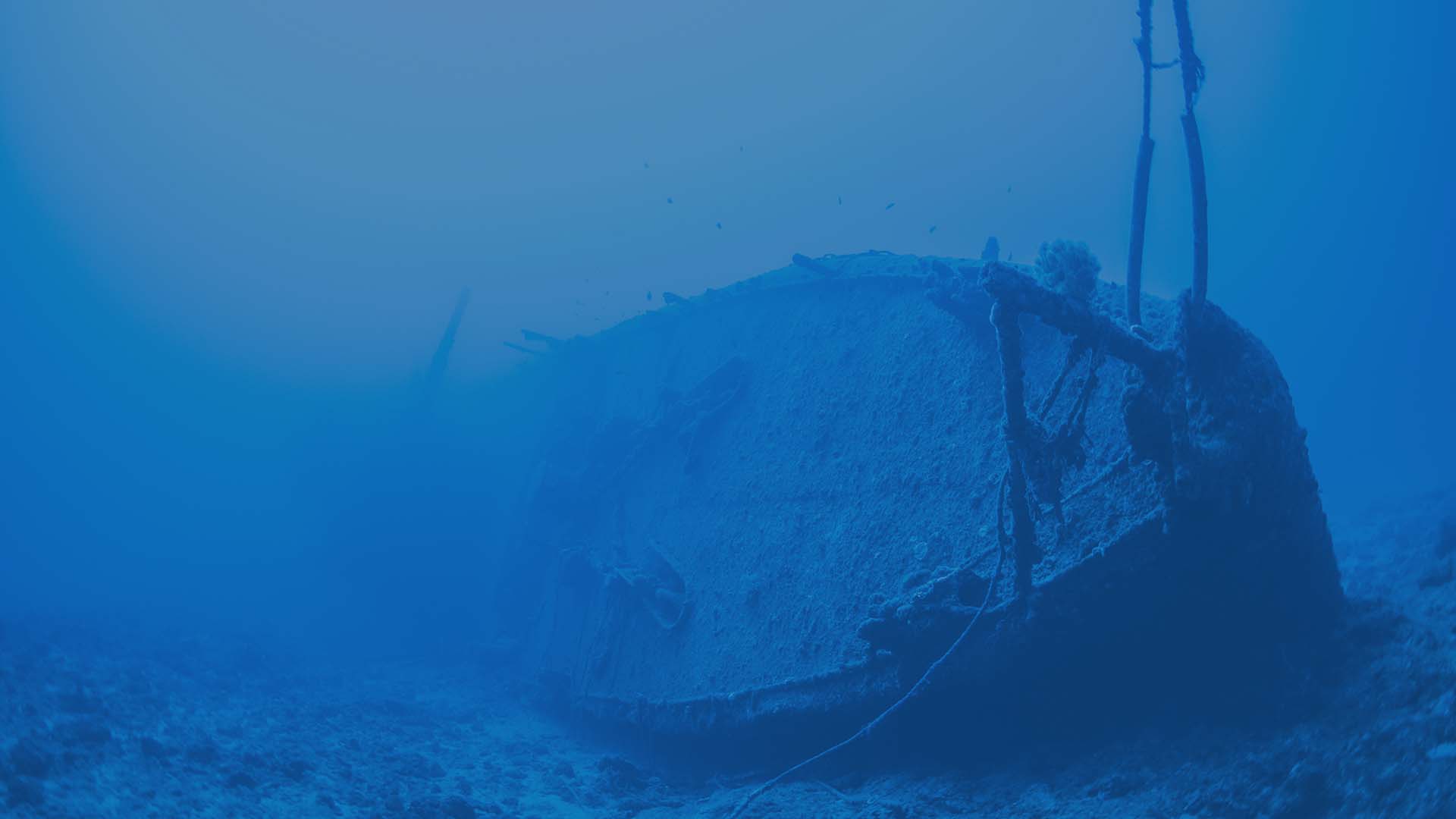

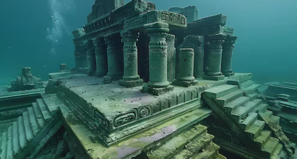
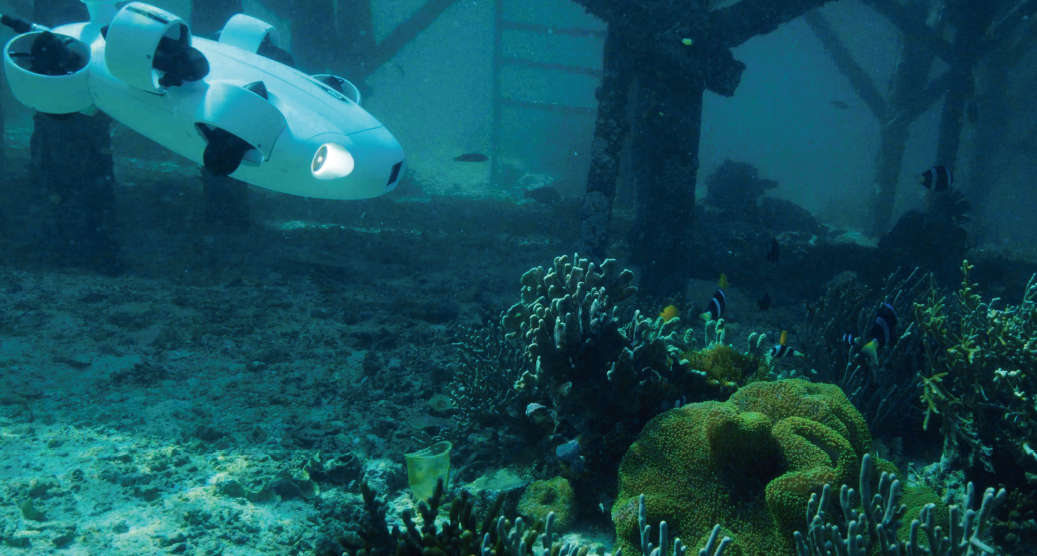
FIFISH ROVs assist in the exploration of sunken ruins, shipwrecks, and submerged artifacts. Their high-definition cameras and maneuverability enable archaeologists to document and analyze underwater sites with minimal disturbance.
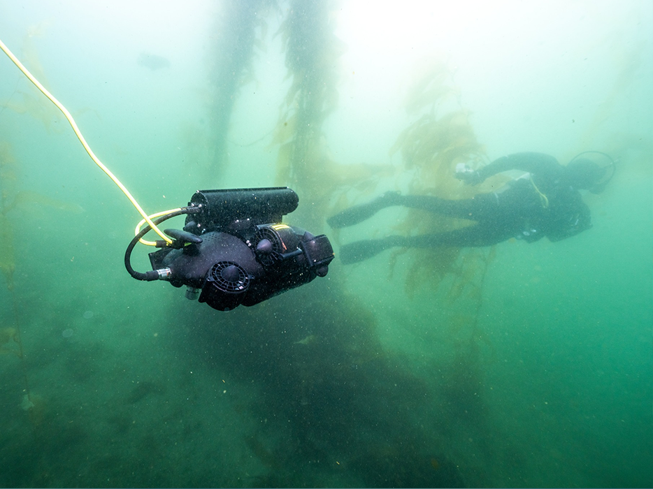
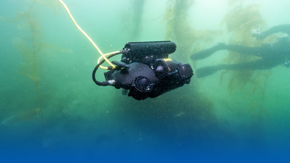
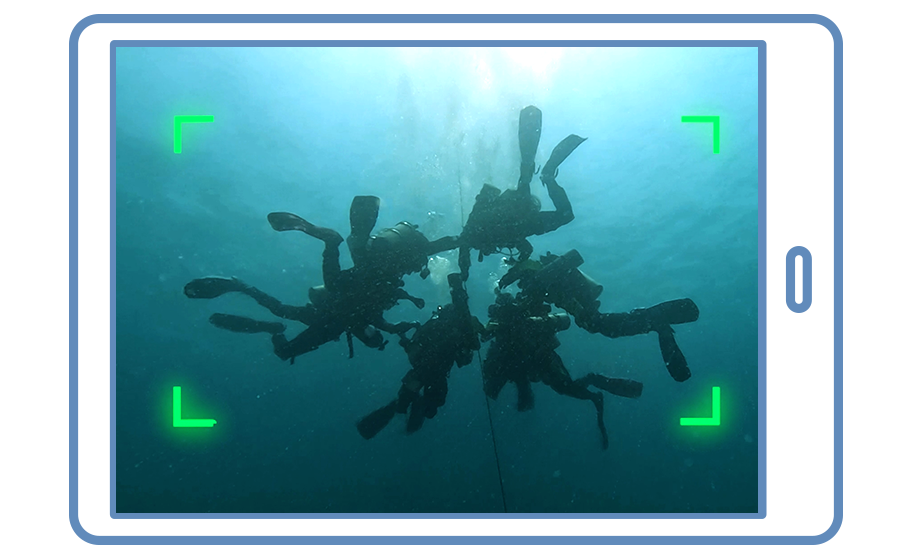
Accordinate Cooperation with Divers
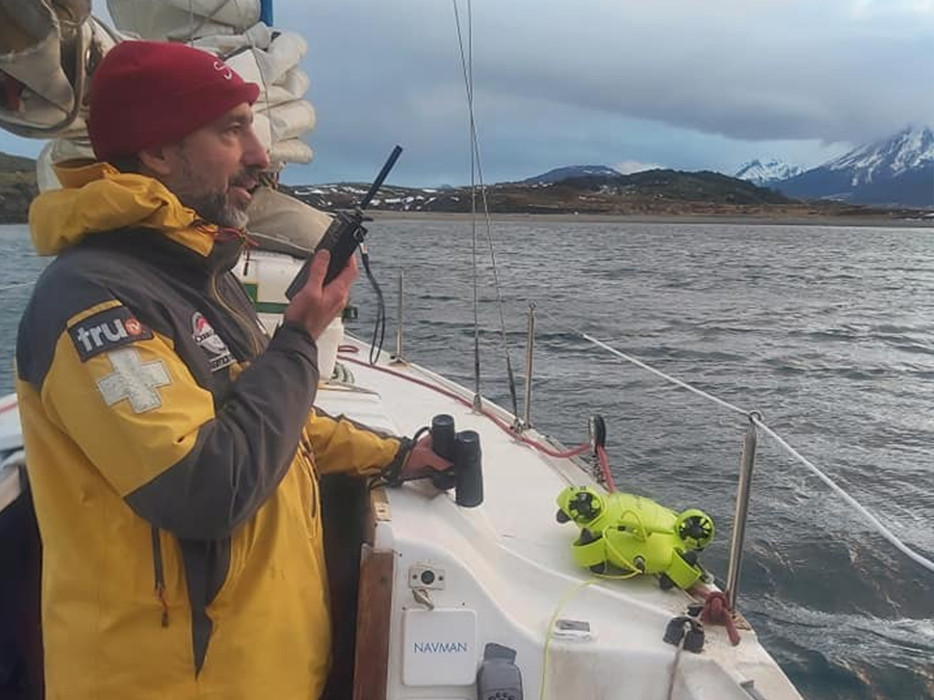
Real-Time Monitor on the Boat
FIFISH ROVs provide an engaging tool for educational institutions to teach students about marine science, robotics, and underwater exploration. They offer hands-on learning opportunities in both classroom settings and field-based marine research projects.
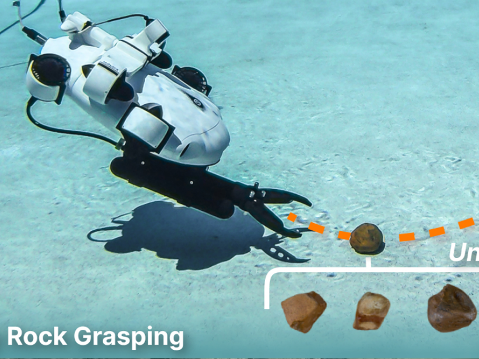
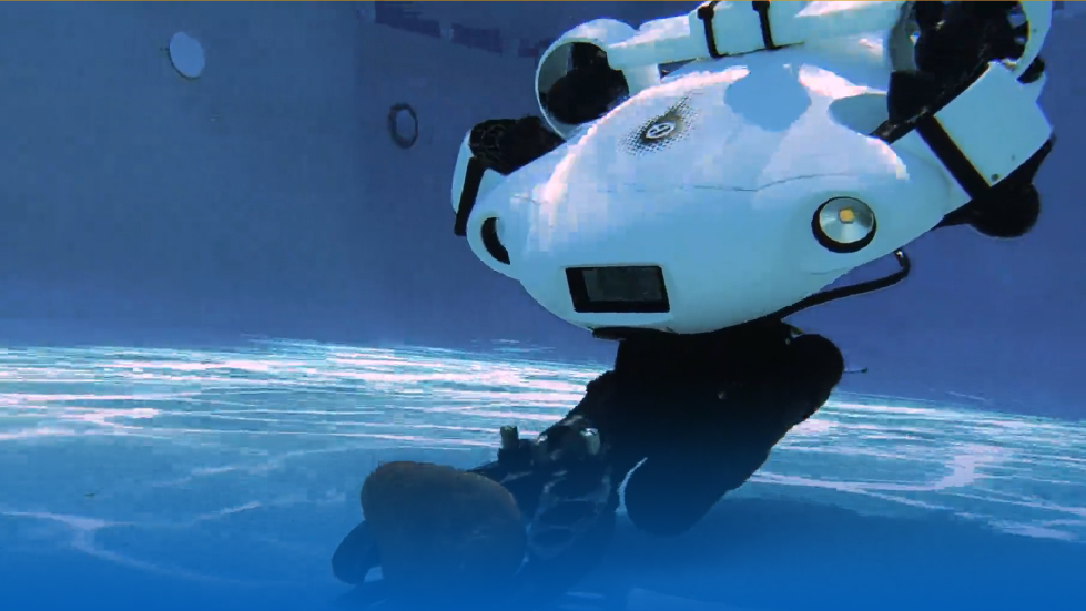
Self-Improving Autonomous Underwater Manipulation
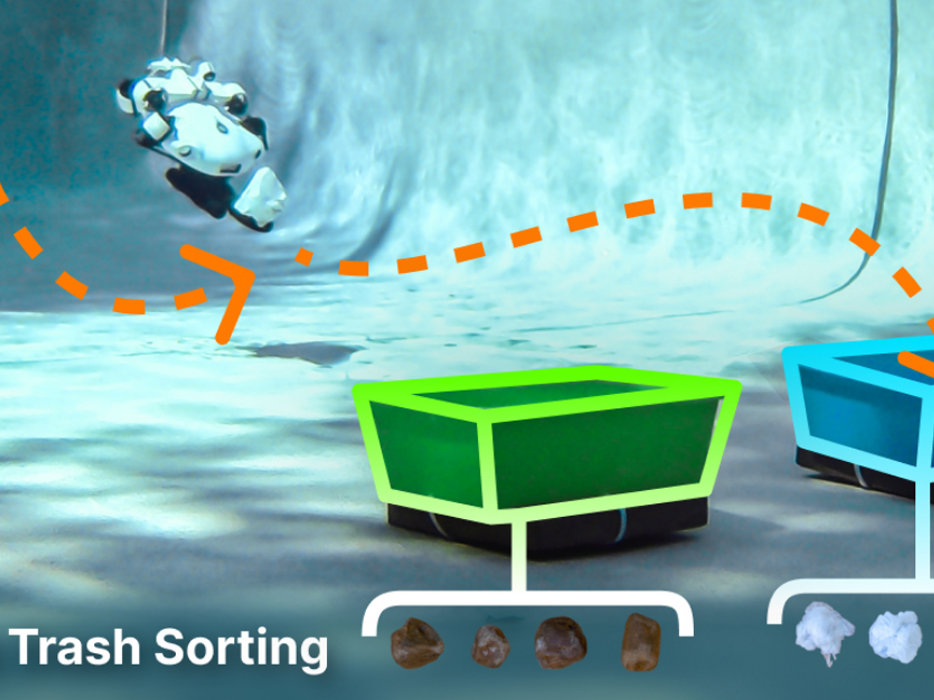
Autonomous Trash Sorting
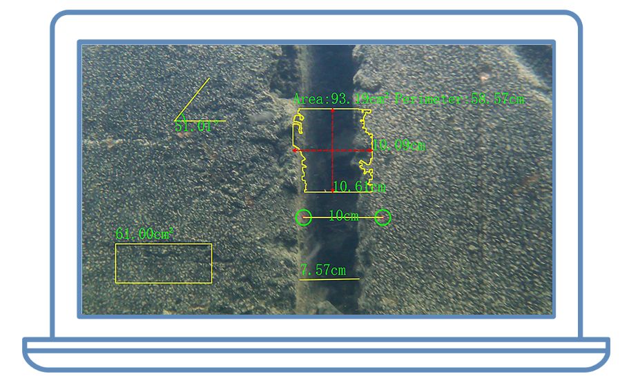
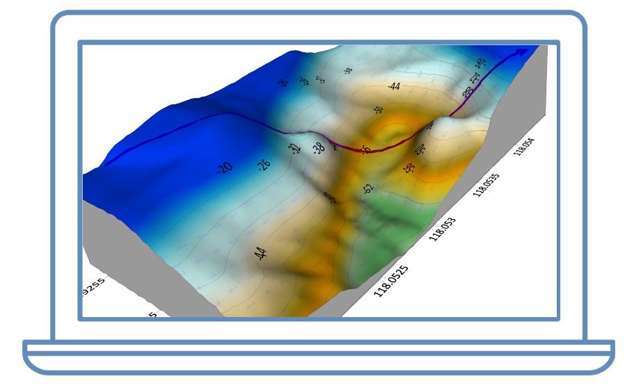
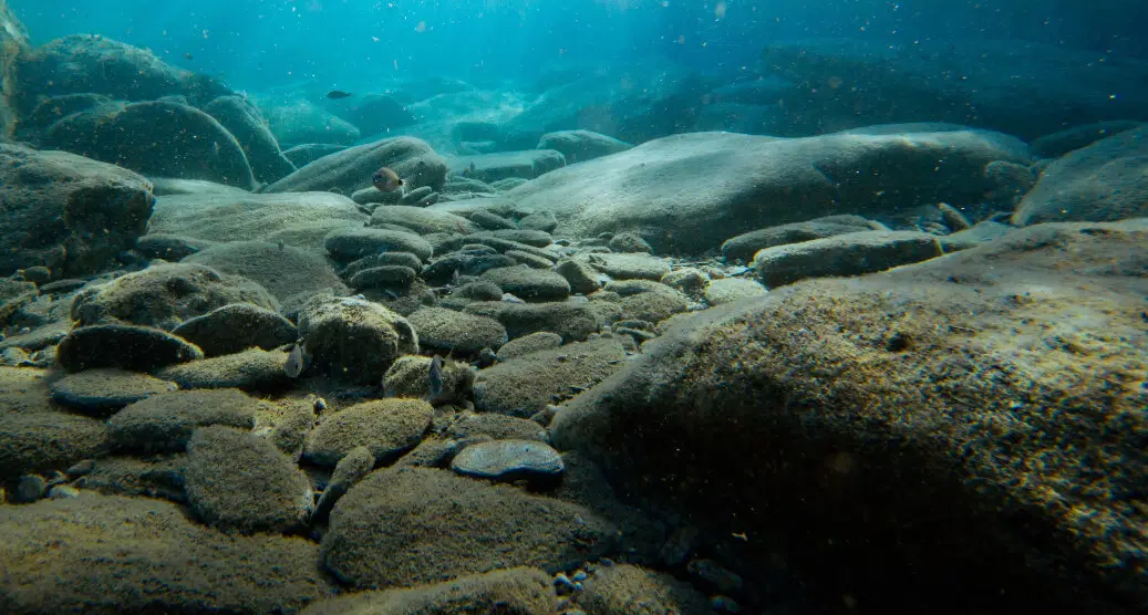
Scientists can use FIFISH ROVs to conduct detailed geological surveys, mapping seafloor structures, identifying fault lines, and studying underwater volcanic activity. This data is essential for understanding earth processes and hazards in marine environments.
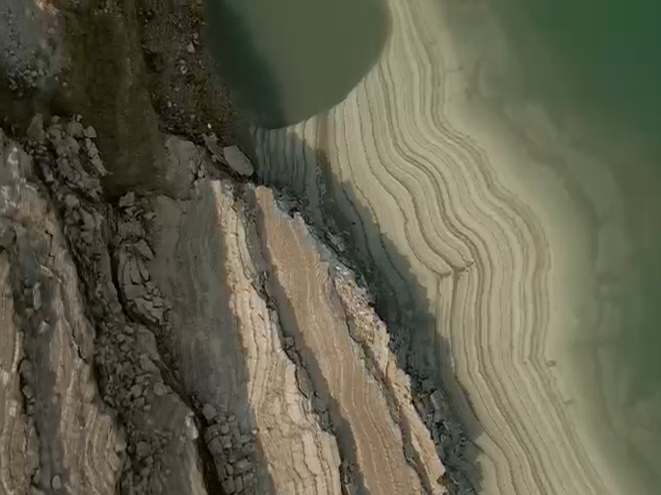
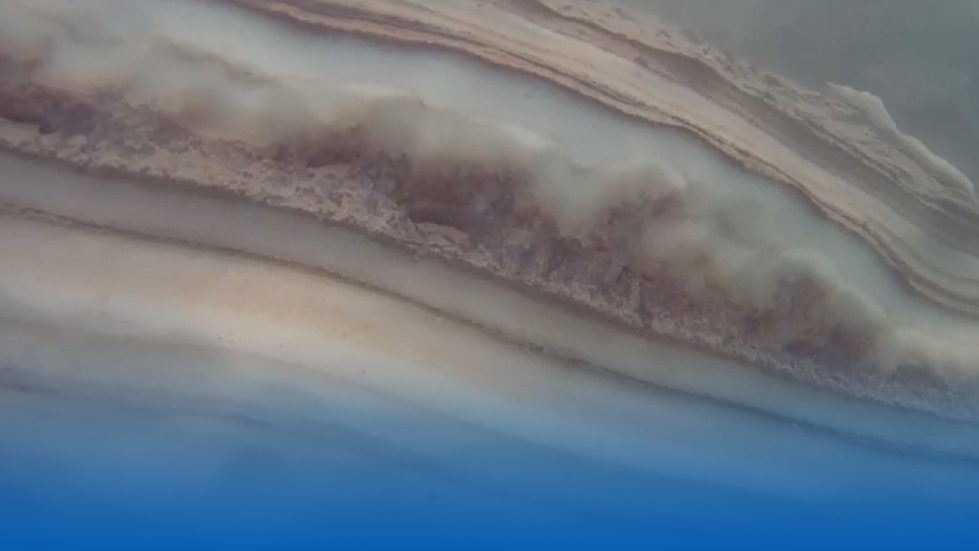
Sinkhole in the Dead Sea
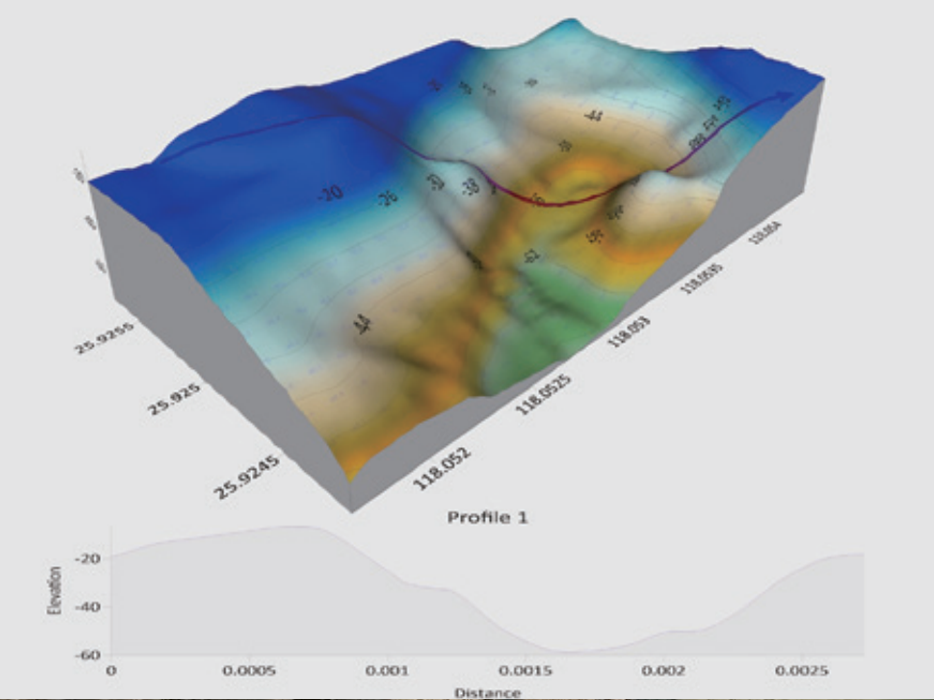
QY-BT (Intelligent Seafloor Mapping)
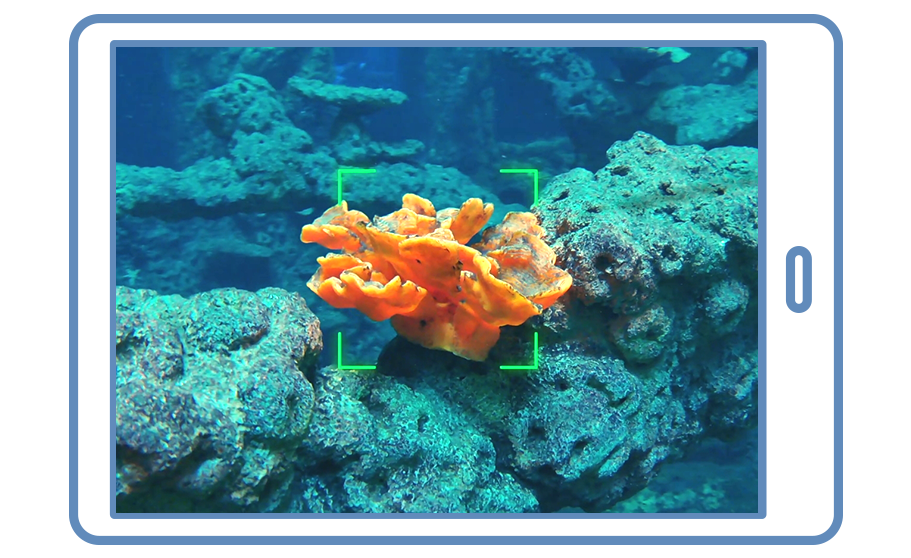
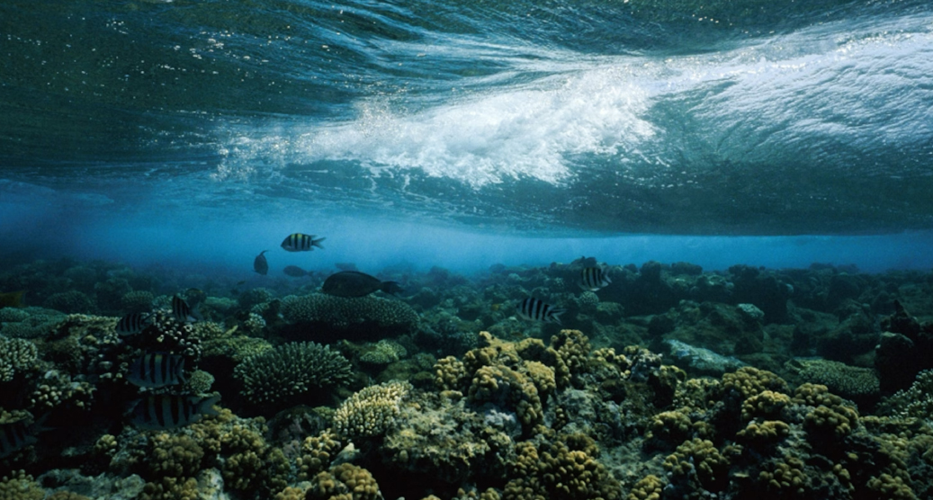
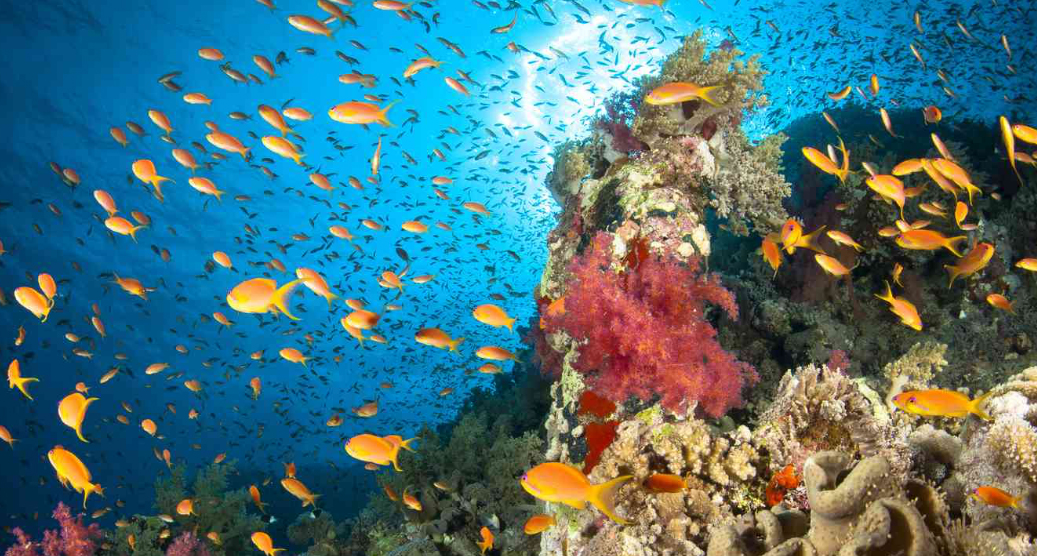
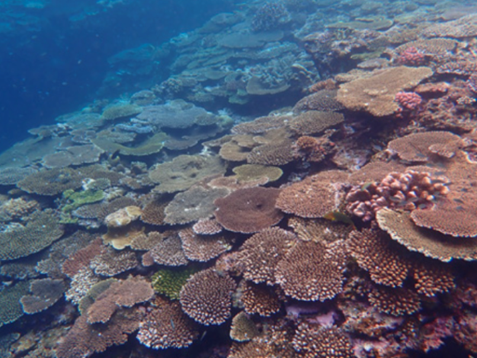
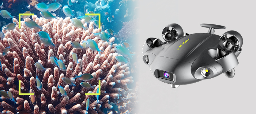
FIFISH ROVs are ideal for studying marine life and ecosystems. Researchers can use them to observe species, track behaviors, and monitor coral reefs and other underwater habitats, providing valuable data for conservation efforts and biodiversity studies.
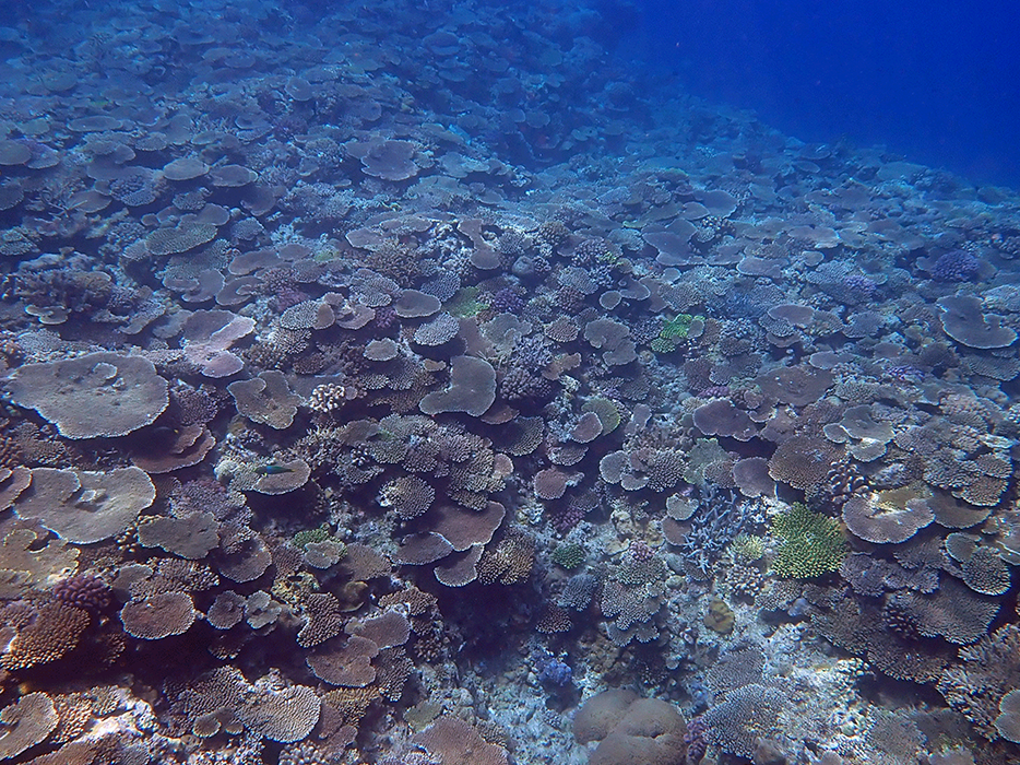
Coral Environmental Inspection
Biodiversity in Seawater Samples

Contact Us
Contact Our Industry Specialists Today.


Copyright © 2026 QYSEA Technology Privacy Policy | Terms & Conditions